
Artist's rendition of Landsat 9
Detailed Description
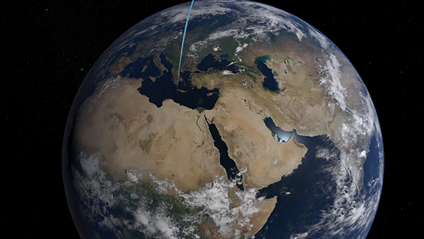
Landsat 9 is a partnership between the National Aeronautics and Space Administration (NASA) and the U.S. Geological Survey (USGS) and will continue the Landsat program’s critical role of repeat global observations for monitoring, understanding, and managing Earth’s natural resources.
Since 1972, Landsat data have provided a unique resource for those who work in agriculture, geology, forestry, regional planning, education, mapping, and global-change research. Landsat images have also proved invaluable to the International Charter: Space and Major Disasters, supporting emergency response and disaster relief to save lives. With the addition of Landsat 9, the Landsat program’s record of land imaging will be extended to over half a century.
For more information about the Landsat 9 mission, please visit https://www.usgs.gov/core-science-systems/nli/landsat/landsat-9.
Sources/Usage
Public Domain.