



August 21, 2026—Hurricane Lala erosion along Highway 11
Detailed Description
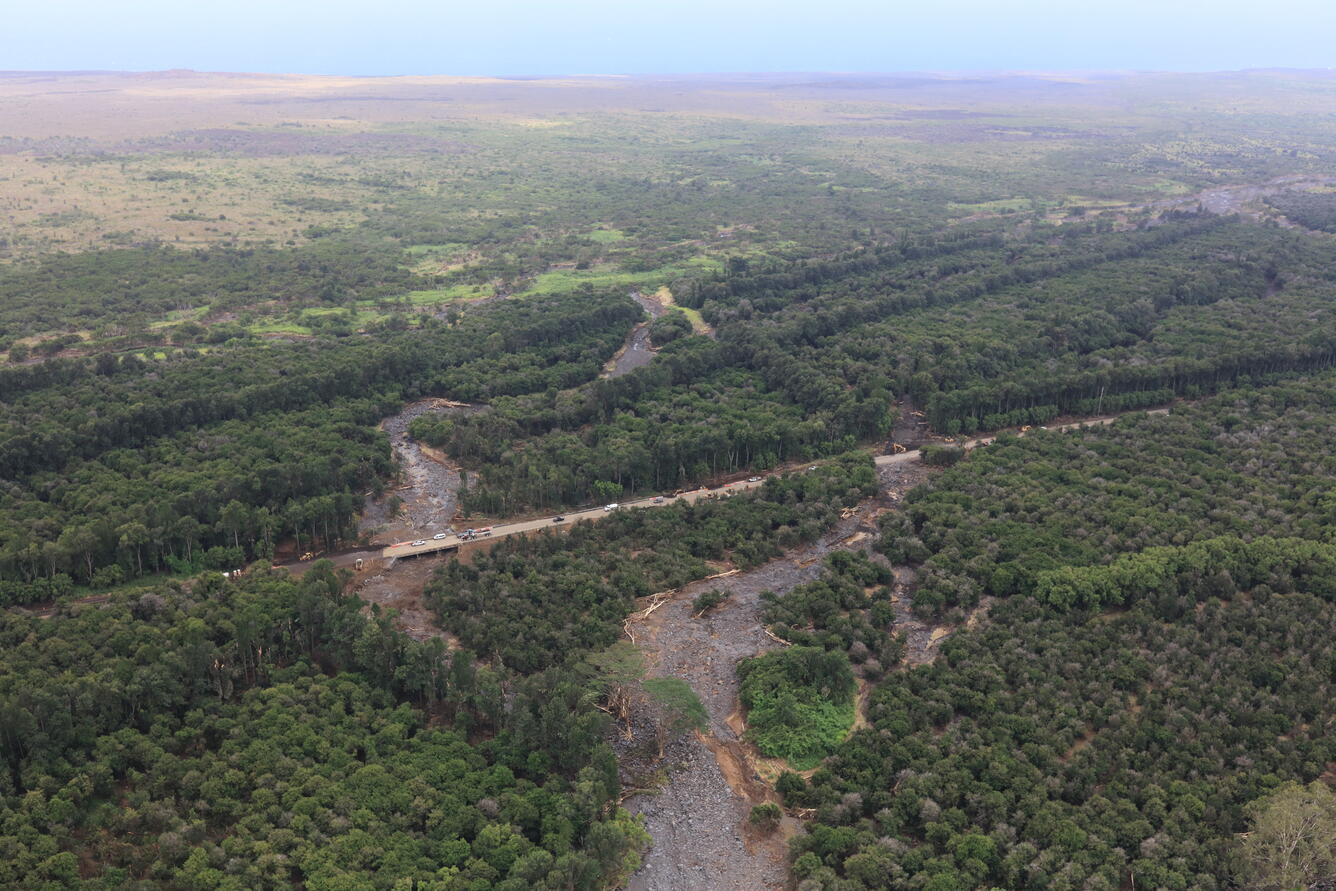
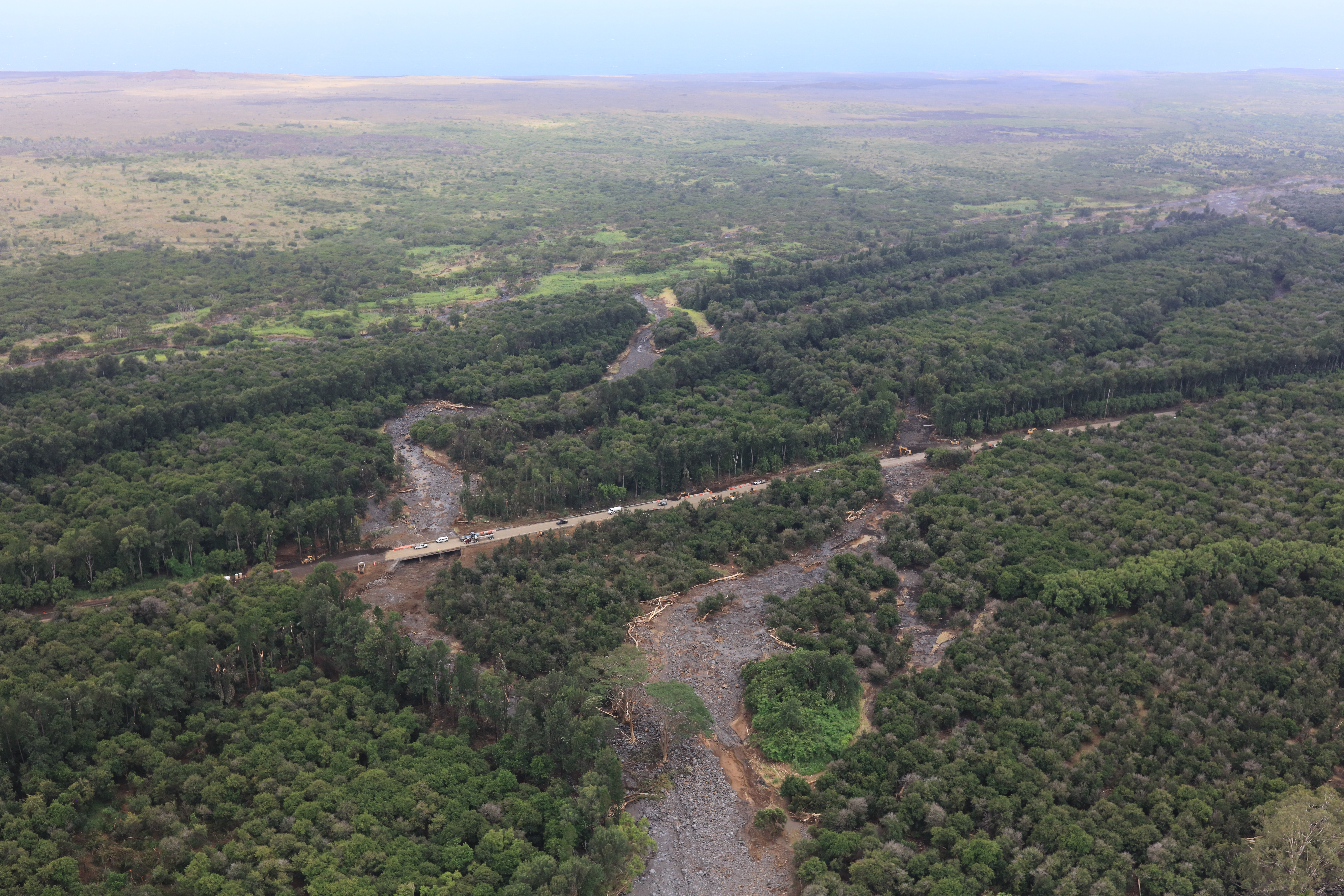
On Friday, August 21, the USGS Hawaiian Volcano Observatory (HVO) organized a helicopter lidar mission over flood-damaged areas in the Ka‘ū district on the Island of Hawai‘i following Hurricane Lala the previous weekend. This mission supported HVO's emergency-response partners at the Hawaii County Civil Defense Agency, providing data they can use to assess flood damage and coordinate cleanup efforts. This photo shows Ka‘ala‘ala Gulch just east of the town of Pāhala, with its stream basin stripped completely bare of vegetation and now strewn with boulders and downed trees. Cleanup efforts along Highway 11 were underway at the time of the flight. USGS photo by M. Zoeller.
Sources/Usage
Public Domain.