



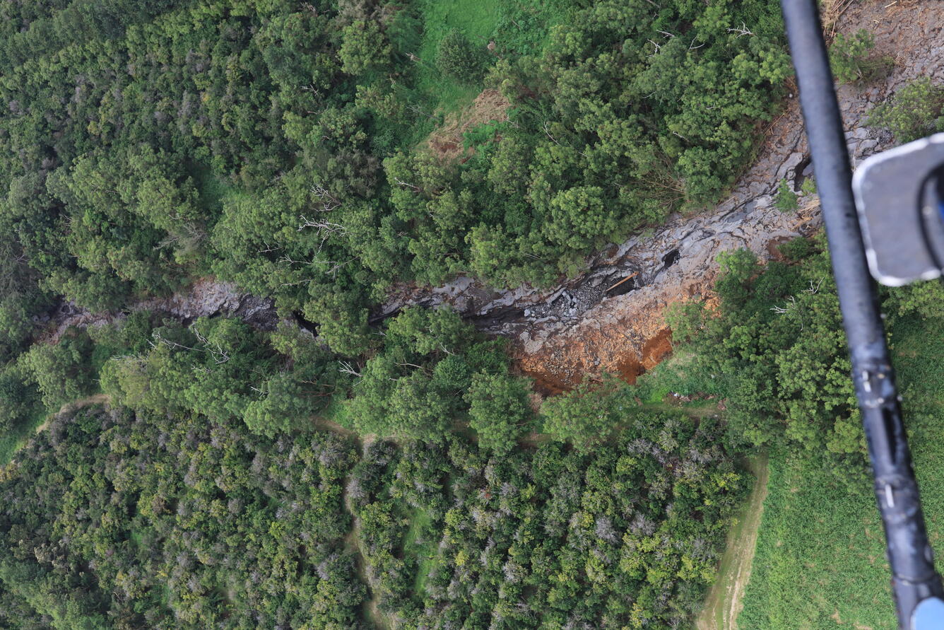

August 21, 2026—Hurricane Lala erosion in Hionamoa Gulch

Detailed Description
The USGS Hawaiian Volcano Observatory helicopter lidar mission on Friday, August 21 provided near-vertical views down into narrow channels carved by streams on the southeast flank of Mauna Loa volcano. This photo shows Hionamoa Gulch just west of the town of Pāhala, clearly widened by flooding during Hurricane Lala the previous weekend. A high-resolution topographic model from the lidar instrument will additionally tell scientists whether or not the channel has deepened. USGS photo by M. Zoeller.
Sources/Usage
Public Domain.