



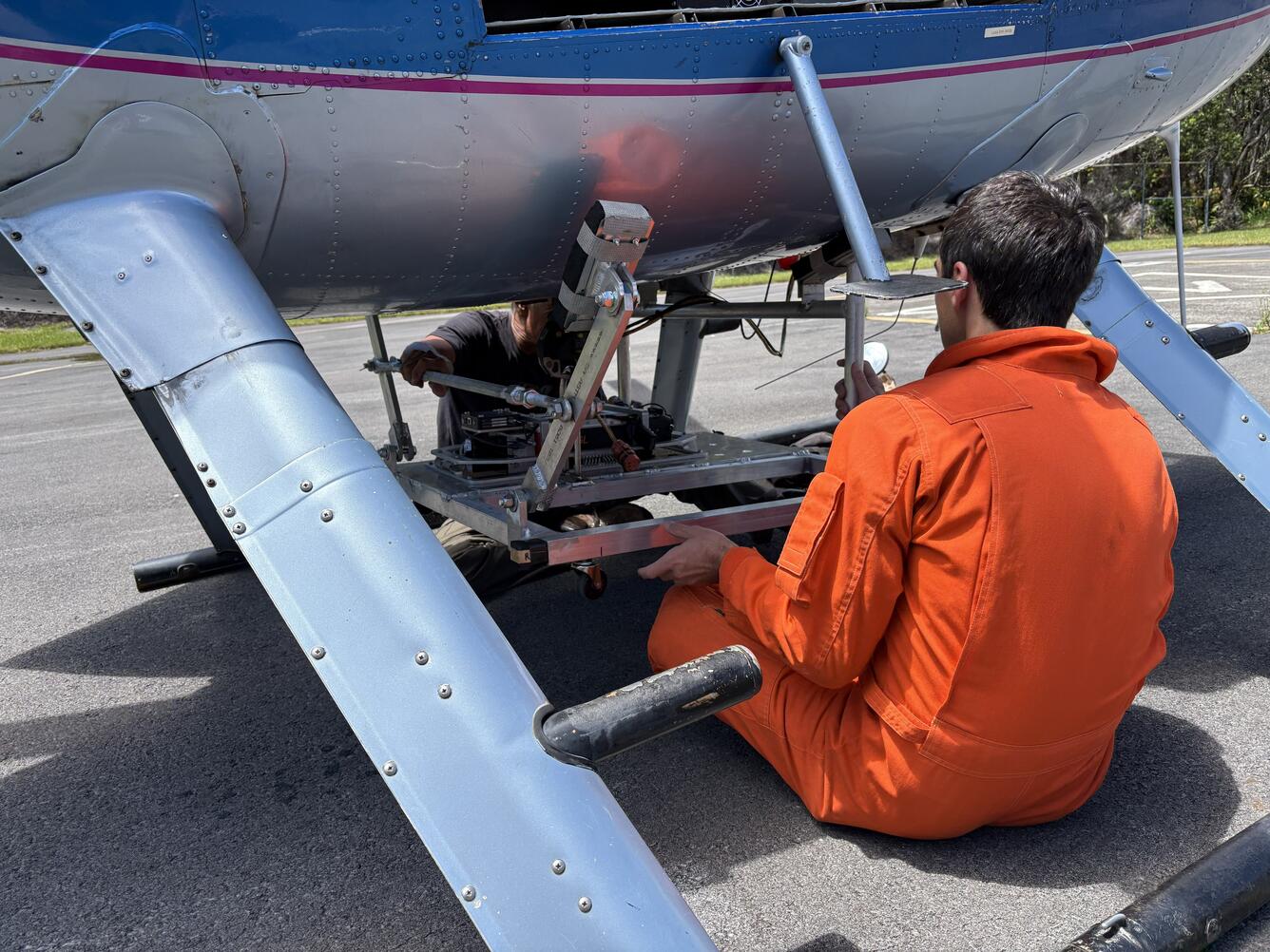
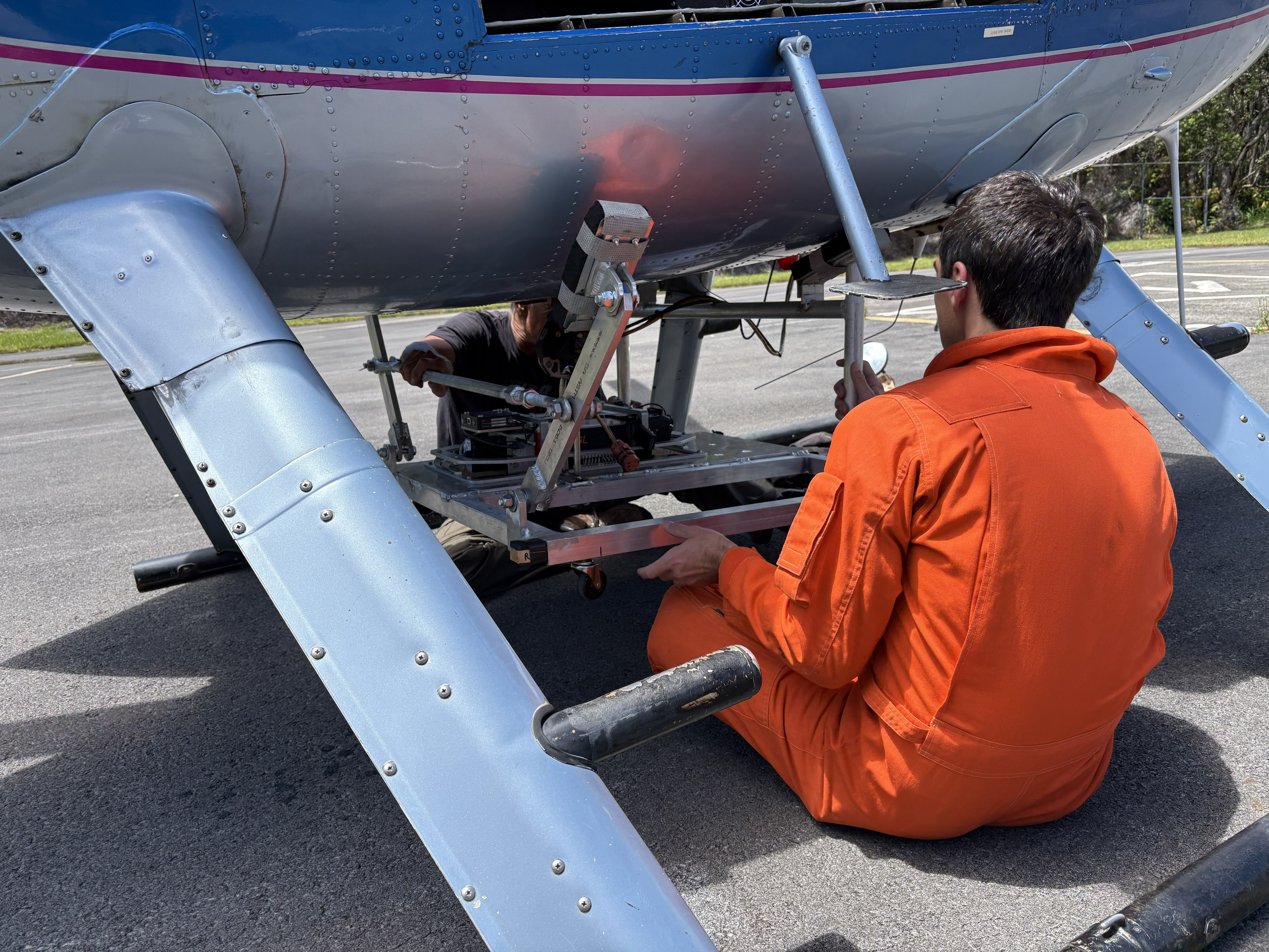
August 21, 2026—Mounting LiDAR on helicopter base


Detailed Description
A USGS Hawaiian Volcano Observatory (HVO) scientist mounts the LiDAR (Light Detection and Ranging) instrument on the base of the helicopter. The helicopter surveyed areas damaged during Hurricane Lala over the weekend of August 15, including the towns of Nāʻālehu and Waiʻōhinu, stream channels upslope and downslope of the communities, and the routes of Kaʻalaiki ("Cane Haul") Road and Highway 11 leading to the town of Pāhala. USGS photo by D. Downs.
Sources/Usage
Public Domain.