



August 21, 2026—Preparing for helicopter-based LiDAR mission


Detailed Description
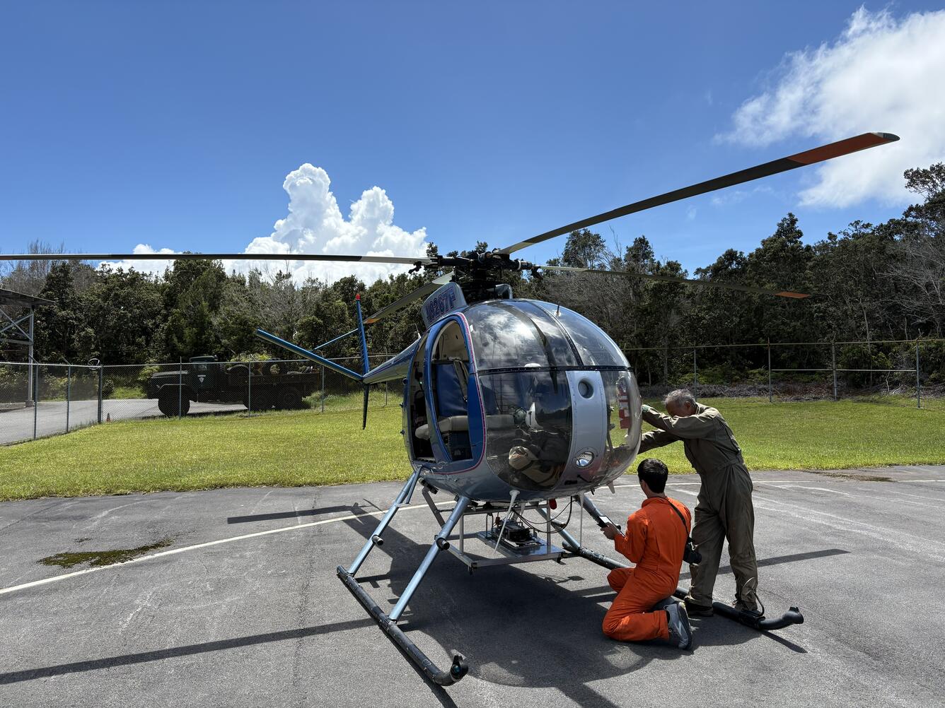
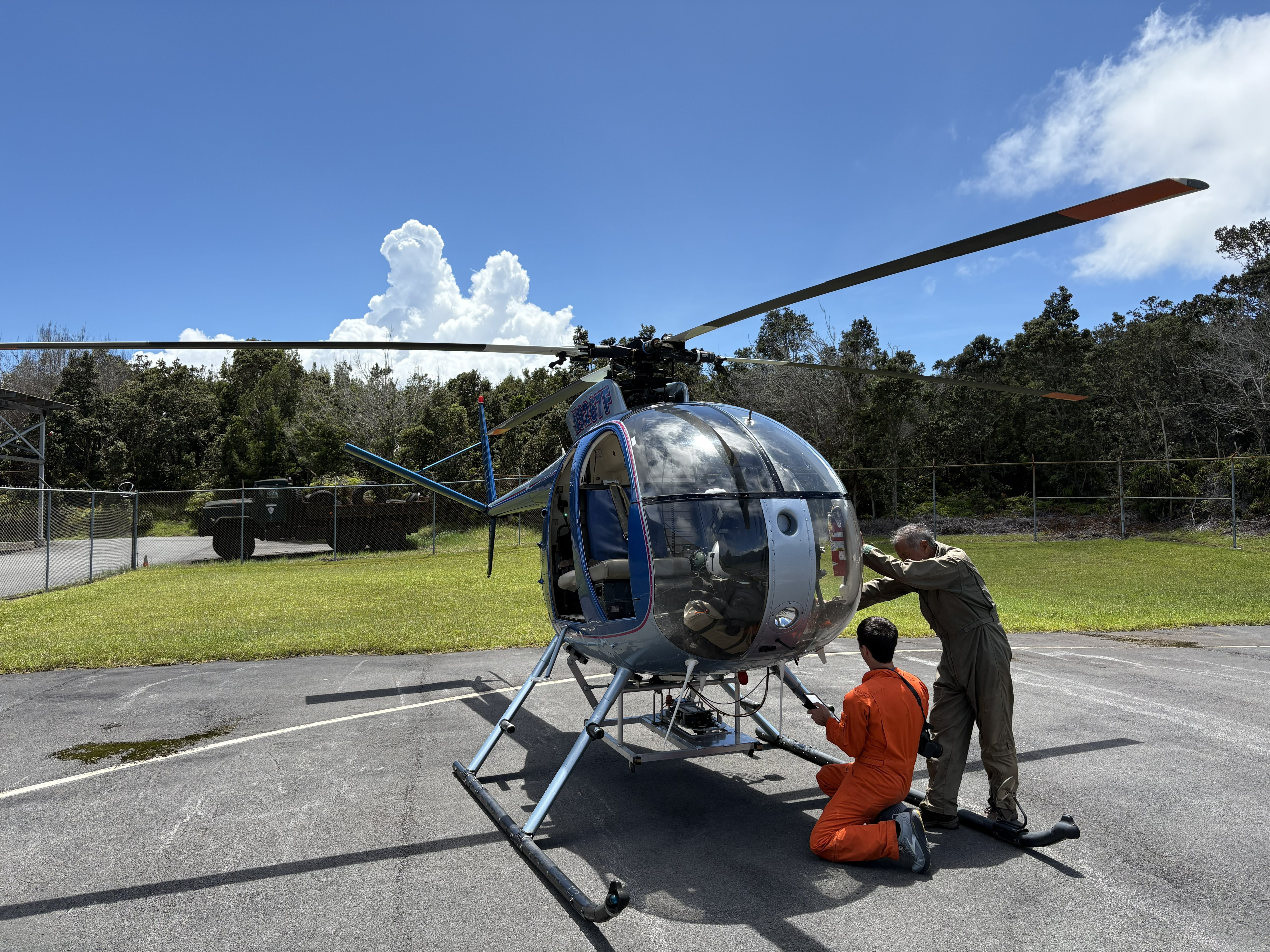
On Friday, August 21, the USGS Hawaiian Volcano Observatory (HVO) organized a helicopter LiDAR mission over flood-damaged areas in the Kaʻū district on the Island of Hawaiʻi following Hurricane Lala that affected the Hawaiian Islands the weekend of August 15. HVO normally uses LiDAR for assessing eruption-related landscape changes in Hawaii. Helicopter-based LiDAR, short for Light Detection and Ranging, provides high-resolution topographic data beneath the helicopter's flight path, and an integrated camera additionally captures imagery of the same terrain. USGS photo by D. Downs.
Sources/Usage
Public Domain.