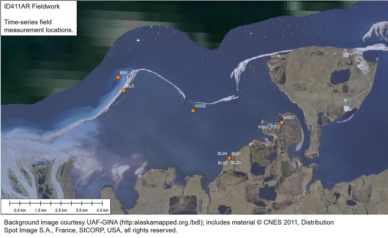
Barter Island Time Series Data Sample Location Map

Detailed Description
Erikson, L.H., Gibbs, A.E., Richmond, B.M., Jones, B.M., Storlazzi, C.D., and Ohman, K.A., 2020, Modeled 21st century storm surge, waves, and coastal flood hazards, and supporting oceanographic and geological field data (2010 and 2011) for Arey and Barter Islands, Alaska and vicinity: U.S. Geological Survey data release, https://doi.org/10.5066/P9LGYO2Q.
Changes in Arctic coastal ecosystems in response to global warming may be some of the most severe on the planet. A better understanding and analysis of the rates at which these changes are expected to occur over the coming decades is crucial in order to delineate high-priority areas that are likely to be affected by climate changes. The data provided in this release are part of a study that assessed the likelihood of changes to a barrier island – lagoon systems in response to projected changes in atmospheric and oceanographic forcing associated with Arctic warming. Arey Lagoon and the surrounding area near Barter Island, Alaska, were focused upon as part of this pilot study. The study investigates the dominance and relative importance of physical processes shaping the modern Arctic coastline as well as decadal flood potentials of low lying tundra due to projected conditions out to the year 2100.
Further details can be found in:
Erikson, L.H., Gibbs, A.E., Richmond, B.M., Storlazzi, C.D., Jones, B.M., and Ohman, K.A., 2020, Changing storm conditions in response to projected 21st century climate change and the potential impact on an arctic barrier island–lagoon system—A pilot study for Arey Island and Lagoon, eastern Arctic Alaska: U.S. Geological Survey Open-File report 2020-1142, https://doi.org/10.3133/ofr20201142.
Sources/Usage
Public Domain.
USGS Data Release
Modeled 21st century storm surge, waves, and coastal flood hazards and supporting oceanographic and geological field data (2010 and 2011) for Arey and Barter Islands, Alaska and vicinity

