
Benthic Sampling

Detailed Description
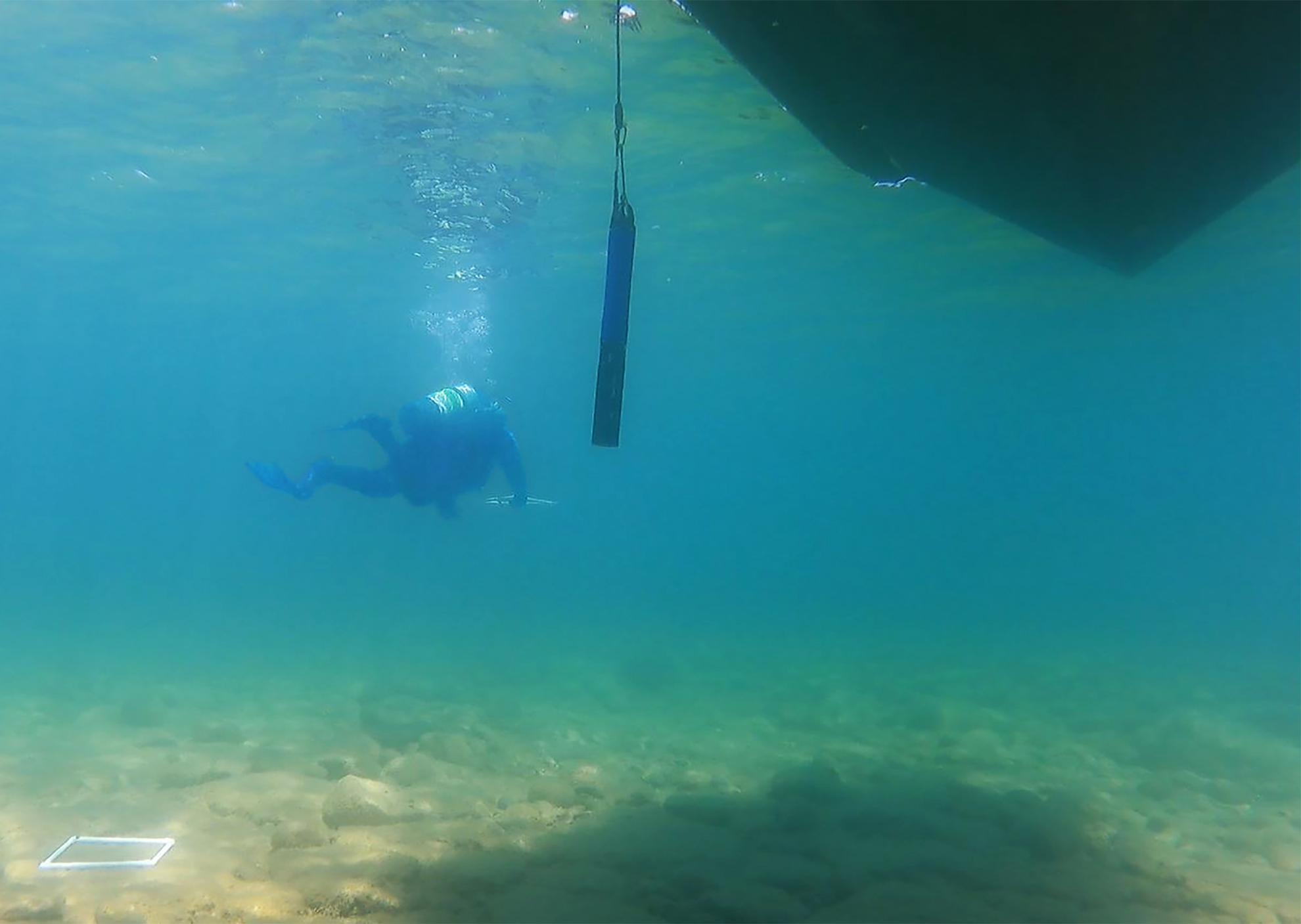
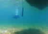
USGS science diver (GLSC; Ann Arbor, Michigan) lays down quadrats for benthic sampling (background), while a surface crew member takes a water profile using a multiparameter sonde deployed over the side of the vessel. This work is part of the Great Lakes Cladophora Assessment Project that supports the Great Lakes Water Quality Agreement target setting and assessment processes by collecting information on nearshore benthic ecosystems and their overlying water column. Excessive growth of benthic algae can cause nuisance washups on beaches and clog industrial water intakes. Photo credit: Shelby Eagan, USGS-GLSC.
Sources/Usage
Public Domain.