Cement Creek Downstream
Detailed Description
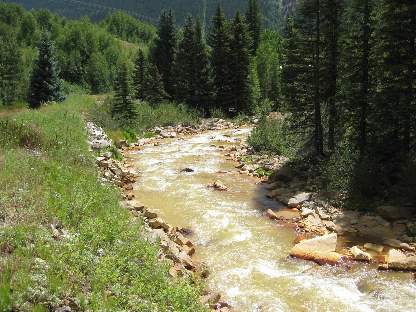
Cement Creek downstream from CC48 Gage (USGS site ID 09358550) and upstream from confluence with the Animas River near Silverton. Latitude 37.81975, Longitude -107.6624.
Sources/Usage
Public Domain.

Official websites use .gov
A .gov website belongs to an official government organization in the United States.
Secure .gov websites use HTTPS
A lock () or https:// means you’ve safely connected to the .gov website. Share sensitive information only on official, secure websites.
Cement Creek downstream from CC48 Gage (USGS site ID 09358550) and upstream from confluence with the Animas River near Silverton. Latitude 37.81975, Longitude -107.6624.
Public Domain.