
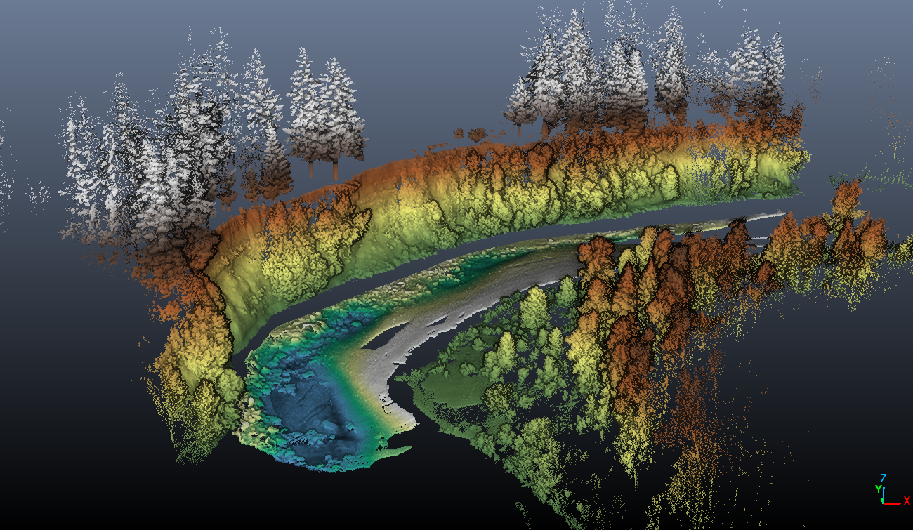
Clackamas River point cloud

Detailed Description
This image is a 3‑D point cloud collected from a combined multibeam sonar and lidar survey along the Clackamas River. The scene is built entirely from millions of individual points, each with its own position and color, creating a detailed model of the river corridor. Points are colored based on elevation.
Sources/Usage
Public Domain.