
CMHRP Facebook Post
Detailed Description
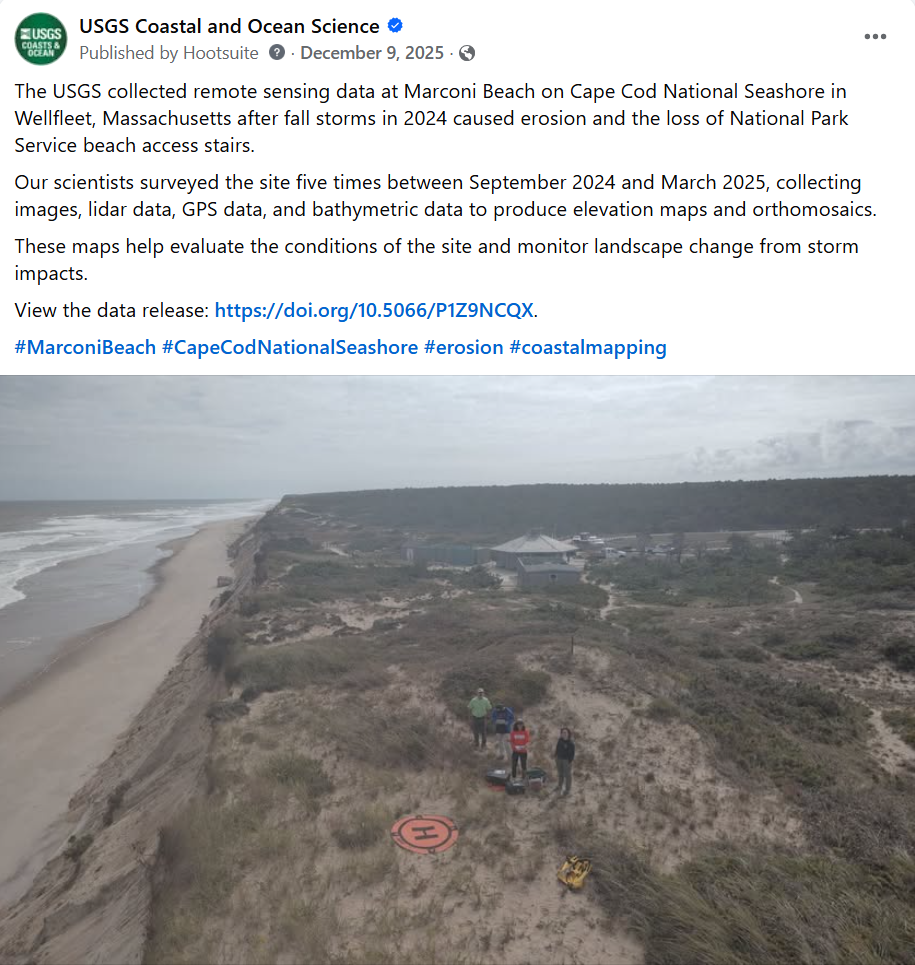
The USGS collected remote sensing data at Marconi Beach on Cape Cod National Seashore in Wellfleet, Massachusetts after fall storms in 2024 caused erosion and the loss of National Park Service beach access stairs. Our scientists surveyed the site five times between September 2024 and March 2025, collecting images, lidar data, GPS data, and bathymetric data to produce elevation maps and orthomosaics. These maps help evaluate the conditions of the site and monitor landscape change from storm impacts. View the data release: https://doi.org/10.5066/P1Z9NCQX.
Sources/Usage
Public Domain.