
CMHRP Facebook Post

Detailed Description
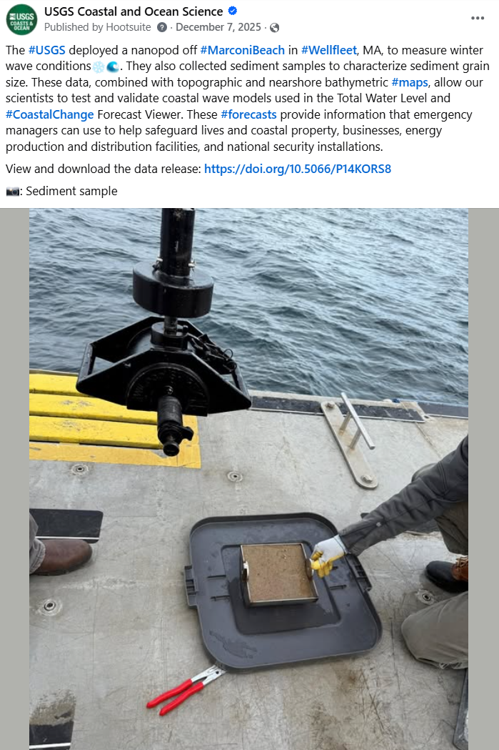
The #USGS deployed a nanopod off Marconi Beach, Wellfleet, MA, to measure winter wave conditions. They also collected sediment samples to characterize sediment grain size. These data, combined with topographic and nearshore bathymetric maps, allow our scientists to test and validate coastal wave models used in the Total Water Level and Coastal Change Forecast Viewer. These forecasts provide information that emergency managers can use to help safeguard lives and coastal property, businesses, energy production and distribution facilities, and national security installations.
View and download the data release: https://doi.org/10.5066/P14KORS8
Sources/Usage
Public Domain.