
Comparisons of Shoreline Positions from Satellite-Derived and Traditional Field- and Remote-Sensing Techniques
Detailed Description
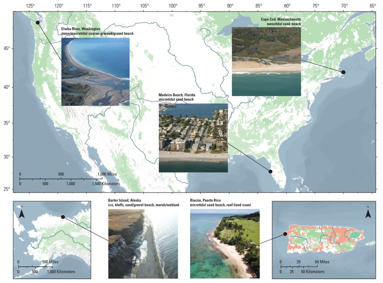
Maps of five study sites spread across the conterminous United States, Alaska, and the Island of Puerto Rico and descriptions of each site’s coastal setting. From the study Comparisons of Shoreline Positions from Satellite-Derived and Traditional Field- and Remote-Sensing Techniques.
Sources/Usage
Public Domain.