
Data Release Digital Maps from ASTER data, western US
Detailed Description
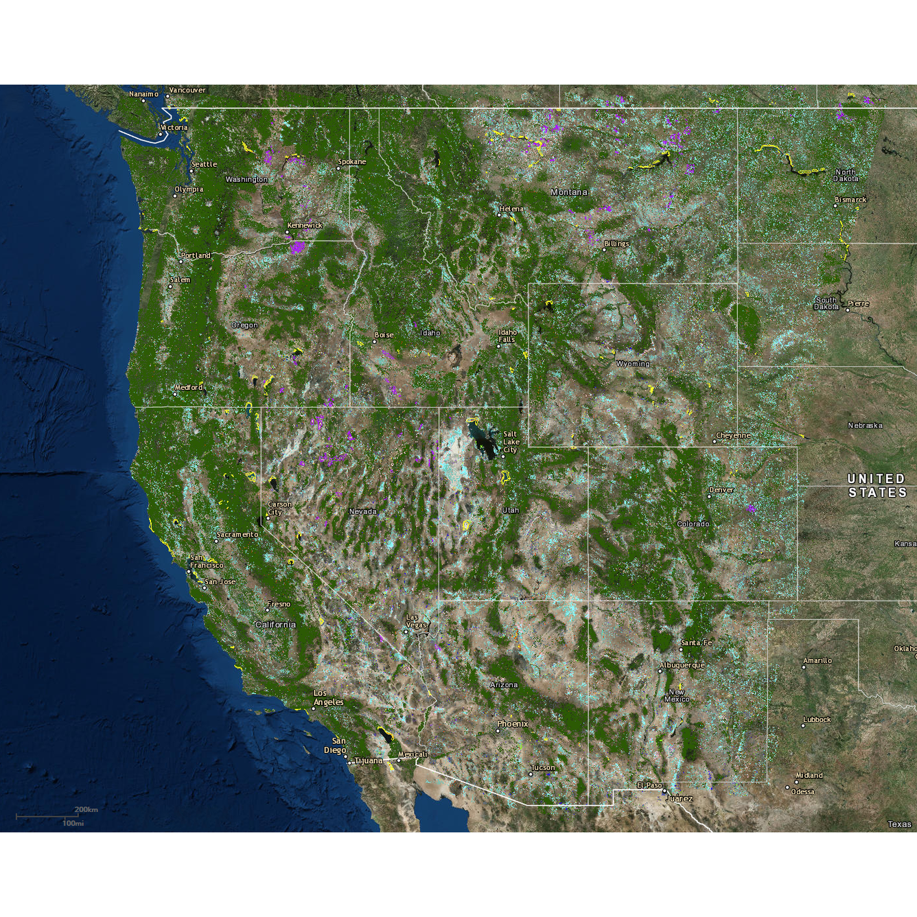
USGS Data Release Digital maps of hydrothermal alteration type, key mineral groups, and green vegetation of the western United States derived from automated analysis of ASTER satellite data (thumbnail for release).
Sources/Usage
Public Domain.
Digital maps of hydrothermal alteration type, key mineral groups, and green vegetation of the western United States
Rockwell, B.W., and Bonham, L.C., 2017, Digital maps of hydrothermal alteration type, key mineral groups, and green vegetation of the western United States derived from automated analysis of ASTER satellite data: U.S. Geological Survey data release, https://doi.org/10.5066/F7CR5RK7.