
Drone-based surface velocimetry at Cow Creek near Riddle
Detailed Description
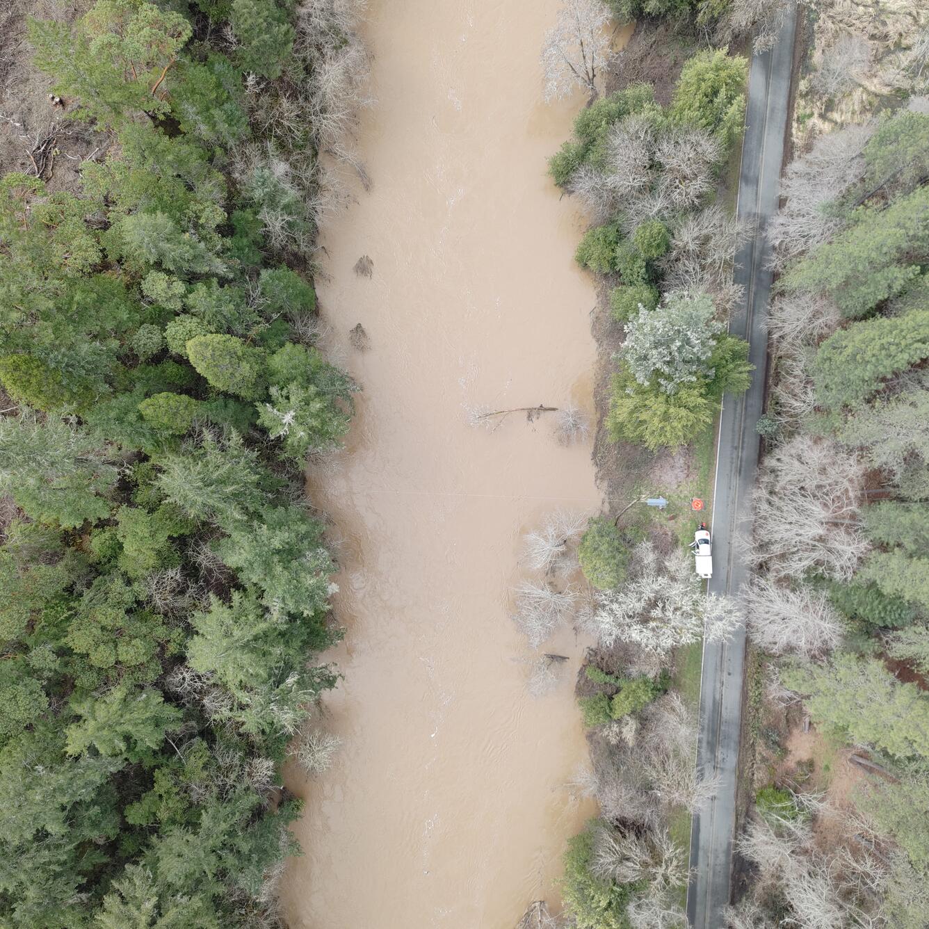
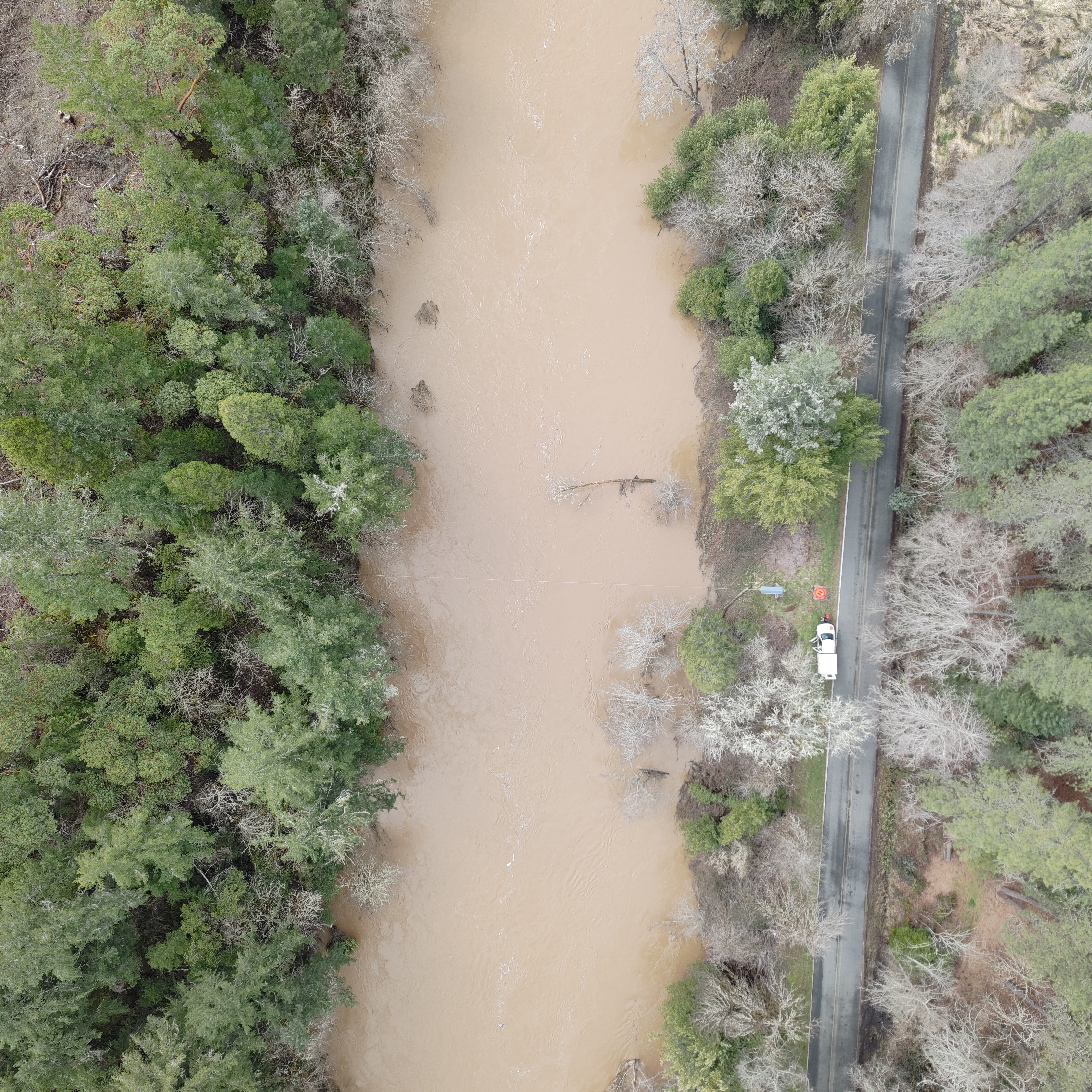
This aerial image was captured during a drone flight for drone-based surface velocimetry, which is a method for measuring the speed of water at the surface of a river or stream using video footage and computer software. This technique measures how fast water is moving by analyzing how visible features on the water surface (like foam, leaves, or small ripples) travel over time. This image was taken above the USGS Cow Creek near Riddle streamgage during a high-flow measurement.
Sources/Usage
Public Domain.