



Evapotranspiration Near Blythe, California


Detailed Description
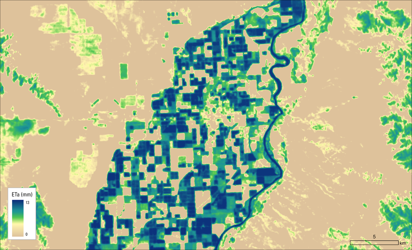
This map shows the Landsat Actual Evapotranspiration (ETa) for the Blythe area on July 23, 2026. Darker blues represent higher amounts of water transferred from the land to the atmosphere through evaporation and plant transpiration, primarily in irrigated fields and along the Colorado River.
Sources/Usage
Public Domain.