
Figure 1. NASA in coordination with USGS collected polarimetric synthetic aperture radar (PolSAR) image data
Detailed Description
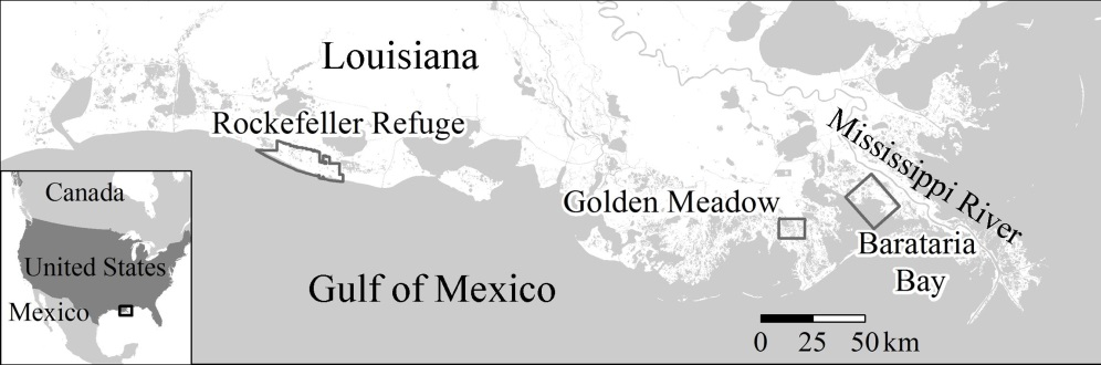
Figure 1. NASA in coordination with USGS collected polarimetric synthetic aperture radar (PolSAR) image data of coastal Louisiana in response to the 2010 Deepwater Horizon oil spill and its possible long-term effects on coastal marshes. PolSAR and field data collections occurred in June 2010, 2011, and 2012 of Rockefeller Refuge, Golden Meadow and Barataria Bay, and prespill in June 2009 of Barataria Bay.