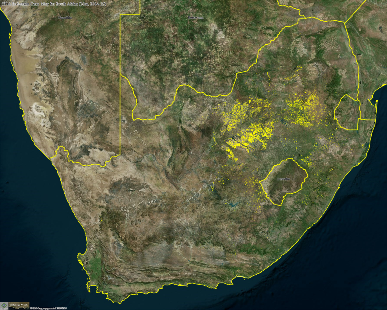
Geospatial Data Analysis Corporation corn map of South Africa

Detailed Description
This image displays Geospatial Data Analysis Corporation (GDA Corp.) corn map for South Africa draped over the source Landsat mosaic. More information available at https://www.usgs.gov/land-resources/lrs/landsat/landsat-action.
Sources/Usage
Public Domain.

