
Good Harbor Reef Bathymetry
By Great Lakes Science Center
March 2024 (approx.)

Detailed Description
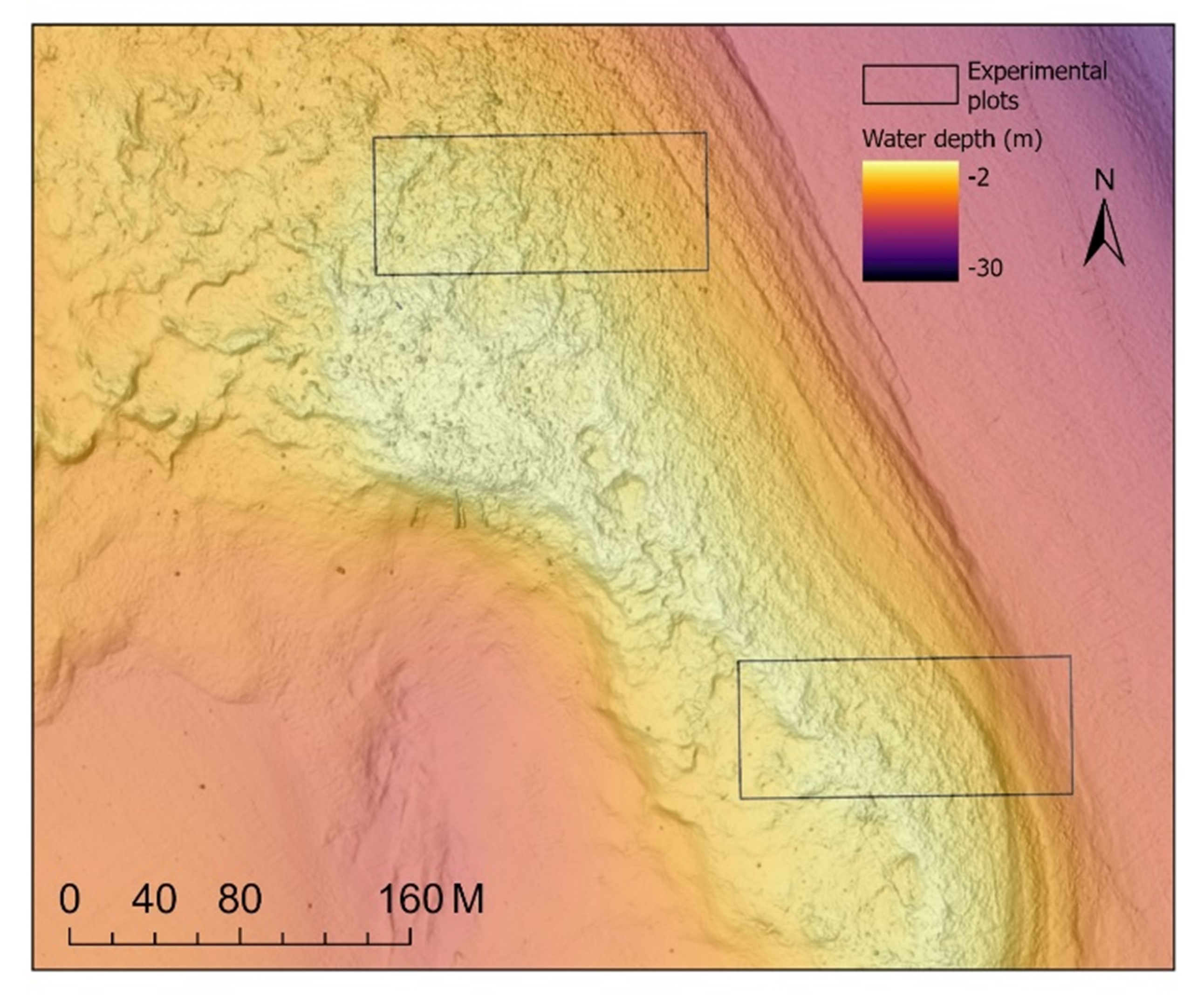
In March 2024, USGS scientists began mapping bathymetry on Good Harbor Reef in Lake Michigan using multi-beam sonar. Lighter colors indicate shallower waters; boxes indicate the boundaries of two 10,000 m2 experimental comparative plots, one of which will be treated to remove mussels. When combined with before- and after-treatment data about lake whitefish movements, egg deposition, and larval fish emergence, scientists will be able to test the effectiveness of the treatments to improve conservation of the species. Credit: USGS.
Sources/Usage
Public Domain.