
Hydraulic Channel Geometry of Selected Tidal Rivers in Coastal Massachusetts - poster
Detailed Description
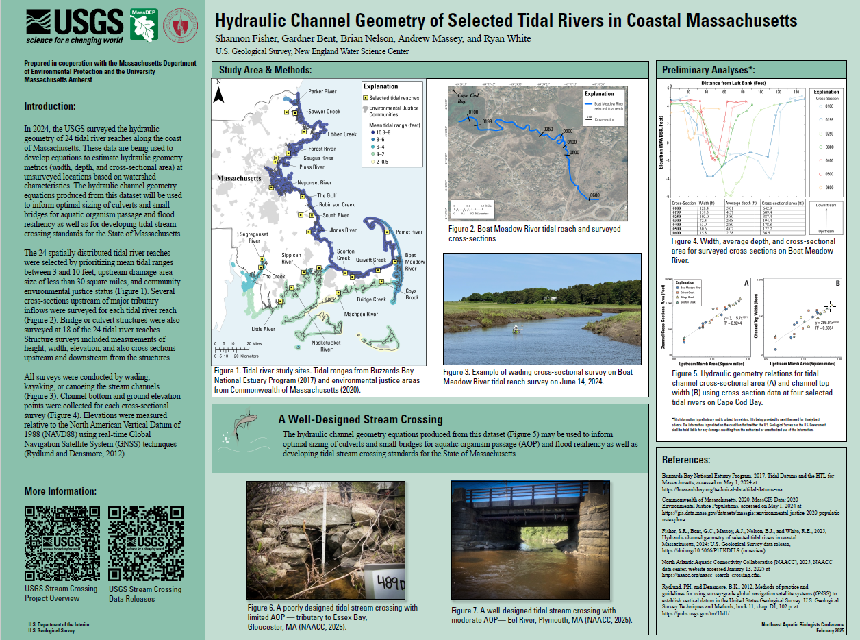
A screenshot of the poster.
Sources/Usage
Public Domain.
Related

A Statewide Hydraulic Modeling Tool for Stream Crossing Projects in Massachusetts
The U.S. Geological Survey (USGS) and the University of Massachusetts at Amherst (UMass Amherst), in cooperation with the Massachusetts Department of Environmental Protection (MassDEP), began a series of studies in 2019 to develop a GIS-based hydraulic modeling tool and to provide preliminary culvert designs for stream-crossing replacement projects in Massachusetts on USGS StreamStats.
Related
A Statewide Hydraulic Modeling Tool for Stream Crossing Projects in Massachusetts
The U.S. Geological Survey (USGS) and the University of Massachusetts at Amherst (UMass Amherst), in cooperation with the Massachusetts Department of Environmental Protection (MassDEP), began a series of studies in 2019 to develop a GIS-based hydraulic modeling tool and to provide preliminary culvert designs for stream-crossing replacement projects in Massachusetts on USGS StreamStats.