
Hydrologic-Data Sites on Long Island, New York
Detailed Description
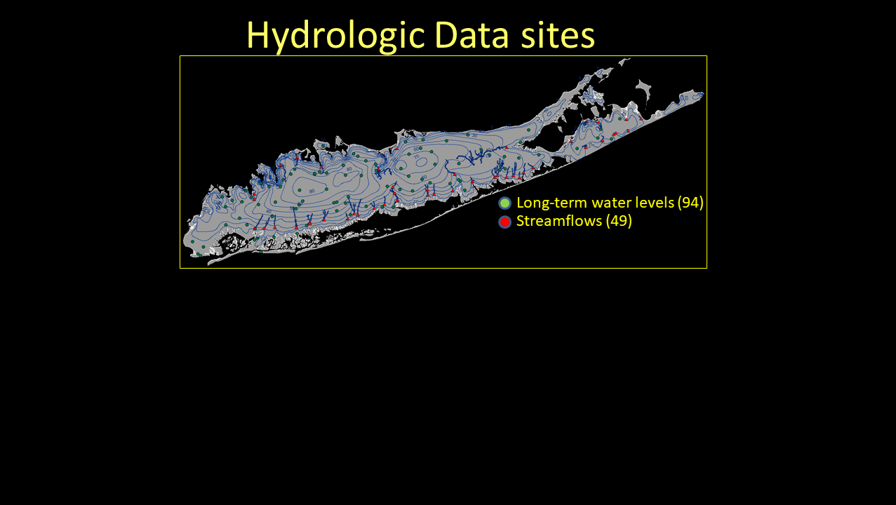
Hydrologic-Data Sites on Long Island, New York used for Groundwater-Flow Model Calibration: The figure above shows the areal extent of groundwater and streamflow stations being used for groundwater-flow model calibration on Long Island, NY. Model simulated water levels and streamflows are compared to measured data to determine how well the model matches real-world conditions. Model parameters such as aquifer properties and recharge often are adjusted to improve this match. These data are collected as part of the ongoing USGS data-collection program in New York. (Public domain.)
Sources/Usage
Public Domain.