
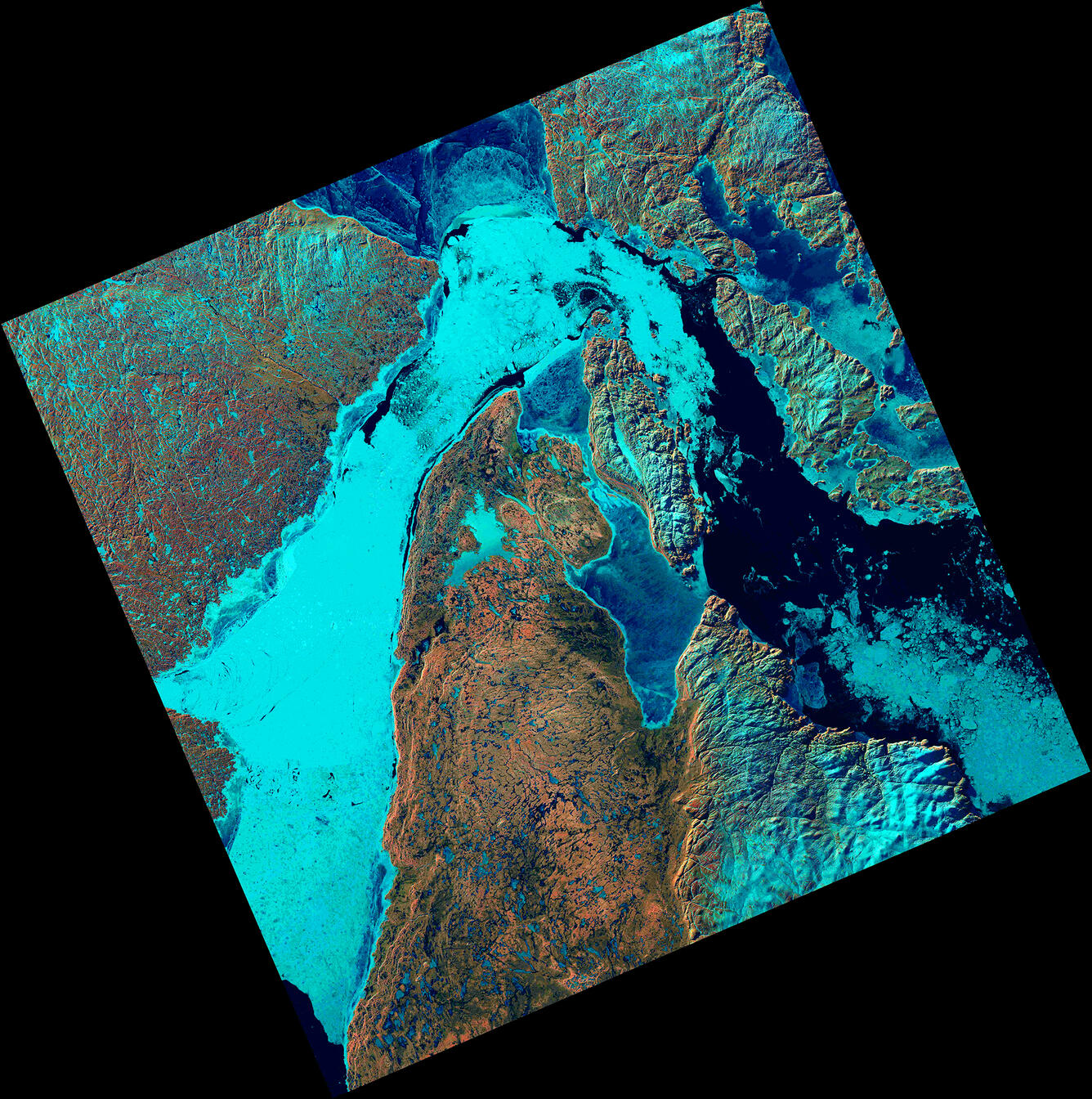
Ice Fills Roes Welcome Sound
Detailed Description
The Landsat 8 satellite captured an image showing sea ice packed into Roes Welcome Sound, located along the northwestern edge of Southampton Island and around Qikiqtaaluk Island in the uninhabited Canadian Arctic Archipelago. East of Qikiqtaaluk, ice drifts through the Frozen Strait, extending eastward into Foxe Basin.
In this subarctic climate, the bedrock geology of these islands shows up as shades of browns and reds to create a dramatic contrast to the ice and the blue deep arctic water in satellite imagery.
- Landsat 8
- Path 108 Row 230
- June 8, 2026
- Bands 6,5,4
Sources/Usage
Public Domain.