
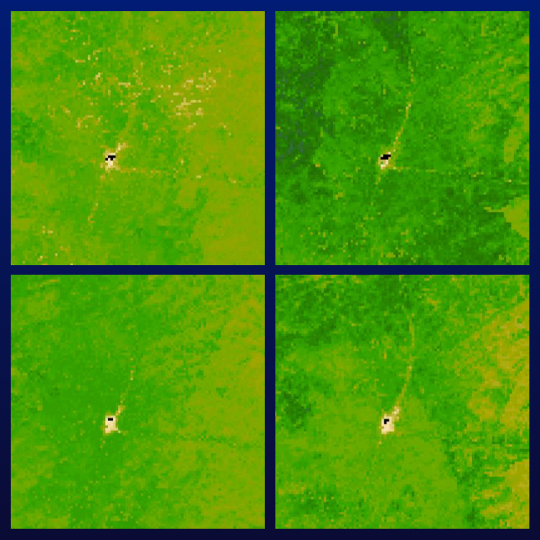
Image of four different models using variations of Landsat, SAR, and EMIT data
Detailed Description
Model outputs from the publication: Application of normalized radar backscatter and hyperspectral data to augment rangeland vegetation fractional classification
Sources/Usage
Public Domain.