



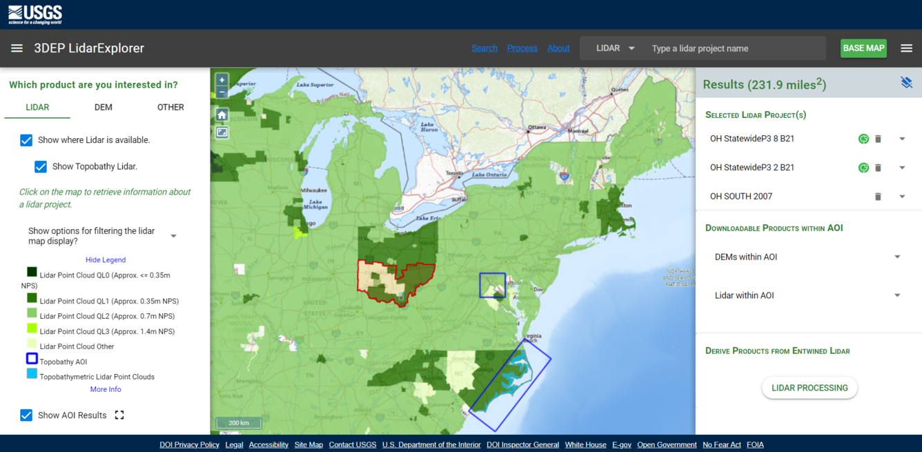
Image of the USGS 3DEP Lidar Explorer Application


Detailed Description
The USGS 3DEP Lidar Explorer is an HTML-based viewer which retrieves Entwine-processed point cloud data through the Greyhound interface to display a 3D rendering of the lidar point cloud. The client interface uses the plas.io javascript library. Learn more about the 3D Elevation Program.
Sources/Usage
Public Domain.