
Investigating Past Earthquakes
Detailed Description
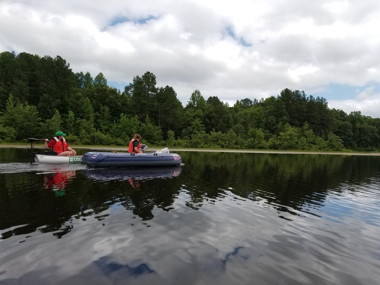
USGS scientists are looking for clues in lakes and reservoirs in Virginia to identify earthquakes that occurred several thousands of years ago, before people were around to record them.
Scientists first determined which reservoirs experienced the most intense ground shaking from the 2011 earthquake in Mineral, Virginia. Then last week, they went out by boat and used ground-penetrating radar (GPR) to visualize the structure and thickness of sediment layers to look for evidence of deformation from earthquakes. The GPR data also help identify the best areas to collect cores of sediment for further analysis, which will be done later this summer.
Scientists are looking at sediments in water bodies because they tend to preserve long, continuous records of environmental changes and events.
It's important to understand the history of these faults to accurately assess the risk for future earthquakes, ultimately helping to protect communities and ensure that infrastructure is built to withstand such events. There are many active faults in the central and eastern U.S., however we don’t know how often large earthquakes have occurred.
Sources/Usage
Public Domain.