
June 5, 2026 — Measuring changes in elevation across the new pu‘u at Kīlauea after episode 48
Detailed Description
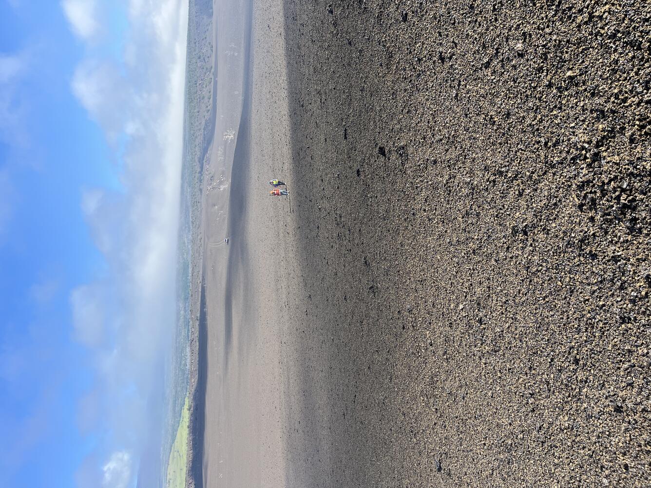
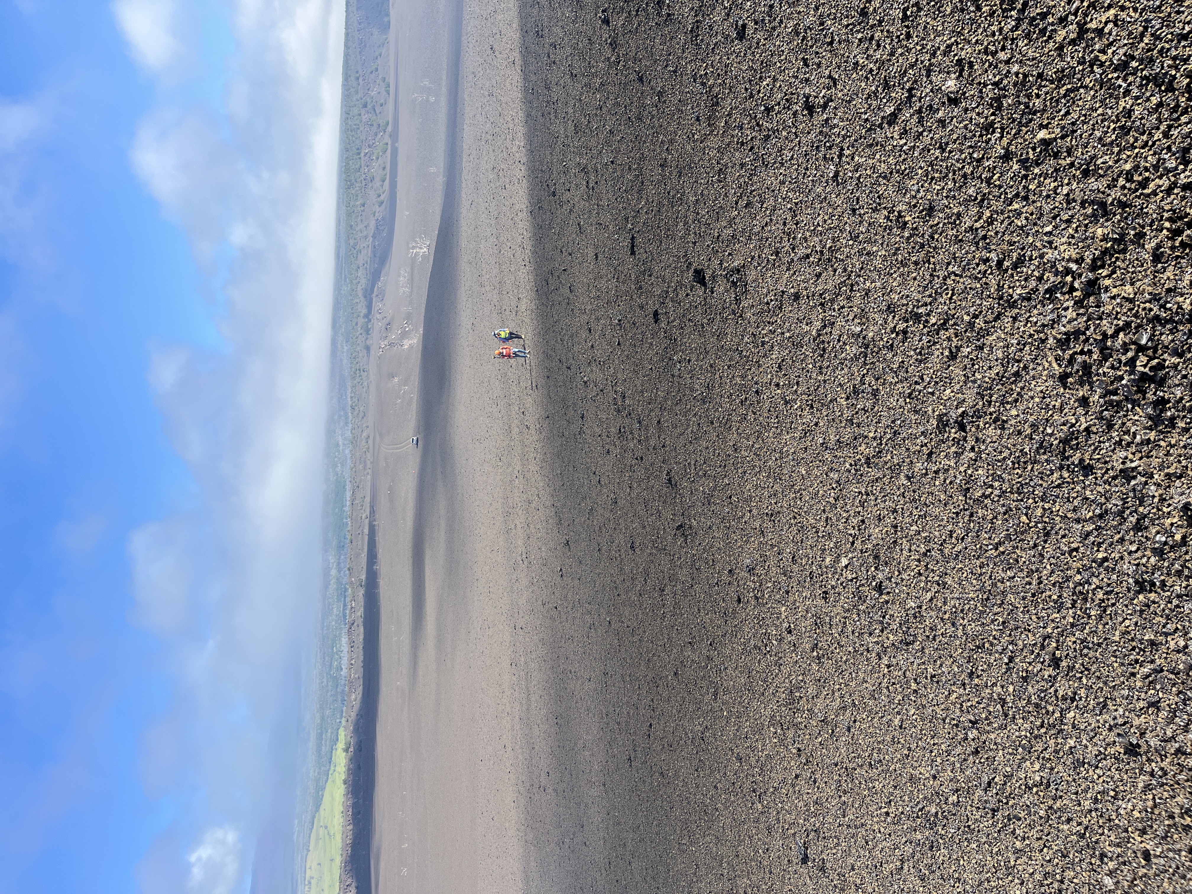
For over a year, after each fountaining episode at Kīlauea's summit, USGS Hawaiian Volcano Observatory geologists have surveyed the elevation along a transect across the new pu‘u on the western margin of Halema‘uma‘u. These repeat measurements across the same set of points, spaced about 330 feet (100 meters) apart, track the growth and changes of the pu‘u. On June 5, 2026, the post-episode 48 survey was completed. This photo was taken partway up the pu‘u on its northern side, looking north. Two geologists have just completed a measurement and are walking to the next measurement site. Prior to the eruption this area had ‘ōhi‘a trees and other vegetation, similar to the vegetation coverage seen in the distance on the right. Tephra from the past 18 months has covered the landscape and the vegetation. USGS photo by N. Deligne
Sources/Usage
Public Domain.