
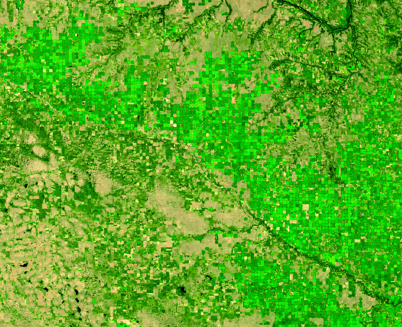
Landsat 9 image of irrigated cropland in northeast Nebraska 2024
Detailed Description
The green circles in this Landsat 9 image display irrigated cropland in northeast Nebraska during the 2024 growing season. This area is well known for corn and soybeans but also produces potatoes. (Ref: https://croplandcros.scinet.usda.gov/)
The Elkhorn River is visible moving from the center to the lower right corner of the image.
Landsat 9 - Path 30, Rows 30-31
Acquired July 25, 2024
Bands 6,5,4
Sources/Usage
Public Domain.