



Landsat Collection 2 Level-1 and Level-2 Images


Detailed Description
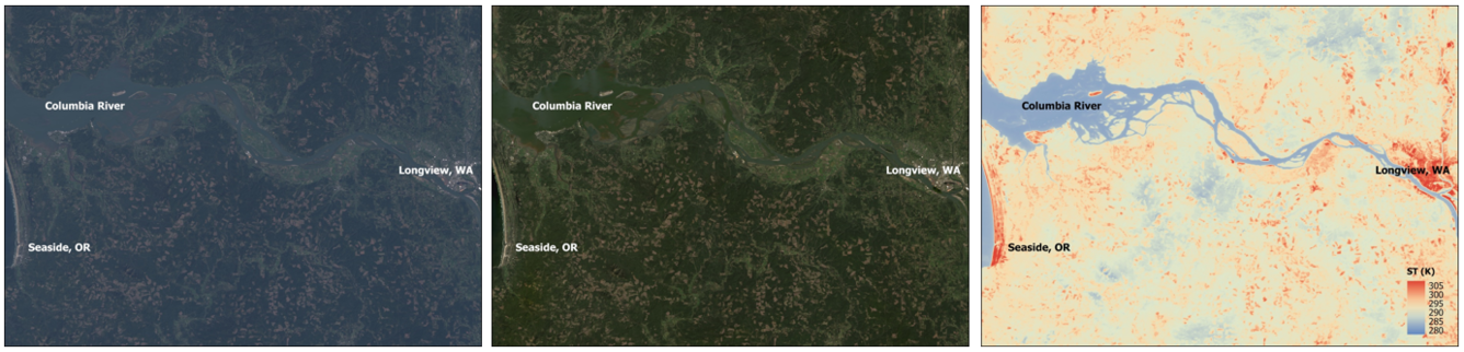
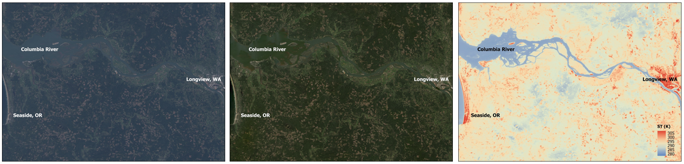
These Landsat 9 Level-1, Level-2 Surface Reflectance, and Level-2 Surface Temperature images show the Columbia River in the northwestern United States.
In the natural color Level-1 image, it is easy to see aerosol scattering and haze. The natural color Landsat Surface Reflectance displays improved data quality by reducing the atmospheric effects. The Landsat Surface Temperature image displays the temperature of the Earth’s surface in Kelvin.
Visit the Landsat Product Information webpage to learn more about the available Landsat products.
Landsat 9 Path 47 Row 28
Acquired April 14, 2025
Sources/Usage
Public Domain.