



Landsat Collection 2 Level-3 Science Product Examples


Detailed Description
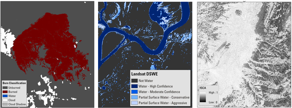
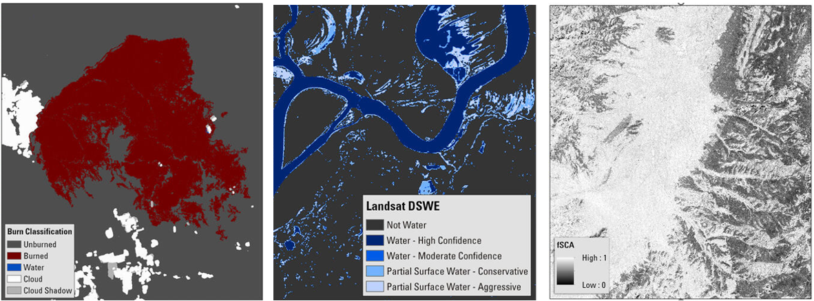
These images represent the Landsat Collection 2 Level-3 Burned Area, Dynamic Surface Water Extent, and the Fractional Snow Covered Area science products.
Left: The burn classification image from the Burned Area science product showing the Bootleg Fire in Oregon on July 11, 2021.
Middle: The interpreted layer image from the Dynamic Surface Water science product showing the confluence of the Wabash and Ohio Rivers on April 12, 2021.
Bottom: The fractional snow covered area (fSCA) image from the fSCA science product showing an area in the Dixie National Forest in Utah on February 28, 2021.
Visit the Landsat Science Products webpage to learn more about Landsat Science products.
Sources/Usage
Public Domain.