
Landsat Provisional Actual Evapotranspiration example

Detailed Description
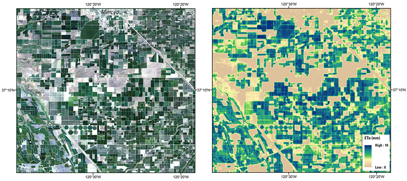
Example of Landsat Provisional Actual Evapotranspiration for agricultural fields near Merced, California in the San Joaquin Basin, using data acquired by Landsat 8 (Path 43 Row 34) on July 31, 2019; Left: Natural Color Surface Reflectance Image, Right: Actual Evapotranspiration Image.
Please visit the Landsat Provisional Actual Evapotranspiration web page for more information about this science product
Sources/Usage
Public Domain.