
Landsat Sees Where the Snow Lands
Detailed Description
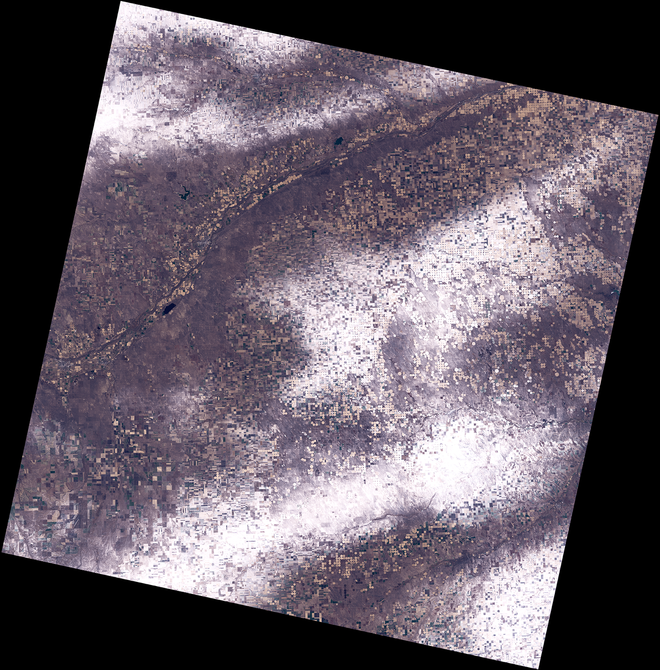
November’s final weekend brought snowfall to much of the northern United States. This Landsat 9 image, acquired on December 1st, highlights an area along the South Platte River near the point where the Missouri, Nebraska, and Colorado borders meet.
It is easy to see where the snow fell – and where it didn’t. The bands of snow contrast sharply with the uncovered areas in the image.
Landsat satellites capture the landscapes around the world each day. Visit the Landsat Data Access webpage to learn how you can download Landsat imagery.
Landsat 9
Path 32 Row 32
Acquired December 1, 2025
Bands 4,3,2
Sources/Usage
Public Domain.