
Lesson 10e2 screenshot

Detailed Description
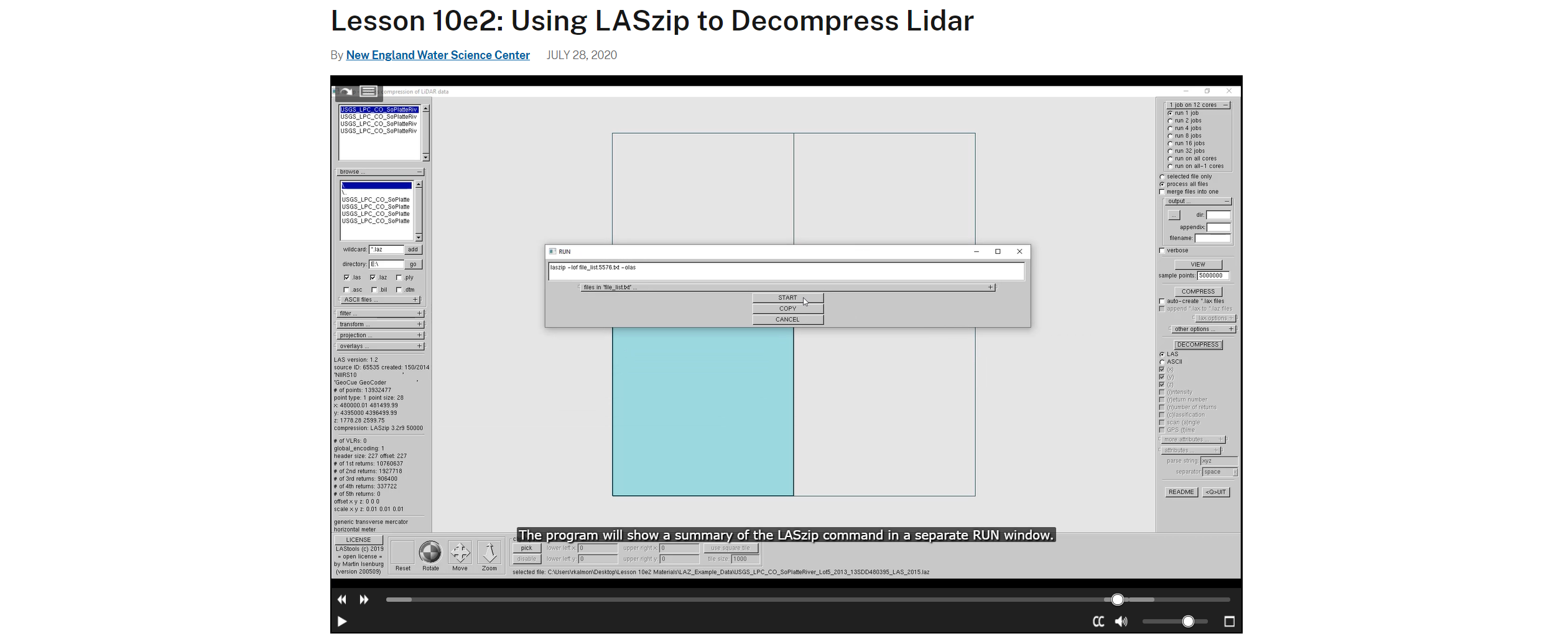
The National Map is the collection of mapping products and services produced by the USGS National Geospatial Program. The products and services are accessed via the internet through service calls and graphical user interfaces. The National Geospatial Program has released a series of “how to” videos for people who are working with The National Map data and services. The videos show how to use the services and interfaces to access data and tools for viewing, analyzing and printing geospatial data. This image is a screenshot from Lesson 10e2: Using LASzip to Decompress Lidar.
Sources/Usage
Public Domain.
Related

Lesson 10e2: Using LASzip to Decompress Lidar
By the end of this lesson, you will understand the difference between the LAS and LAZ format, know where to download the laszip.exe tool, and how to decompress a LAZ file to a LAS file using laszip.exe. The USGS offers other lessons on using LAS files in ArcGIS Pro, Global Mapper, and LP360. Please note that some of our URLs in the video have changed. All URLs beginning with 'viewer.nationalmap...
Related
Lesson 10e2: Using LASzip to Decompress Lidar
By the end of this lesson, you will understand the difference between the LAS and LAZ format, know where to download the laszip.exe tool, and how to decompress a LAZ file to a LAS file using laszip.exe. The USGS offers other lessons on using LAS files in ArcGIS Pro, Global Mapper, and LP360. Please note that some of our URLs in the video have changed. All URLs beginning with 'viewer.nationalmap...