
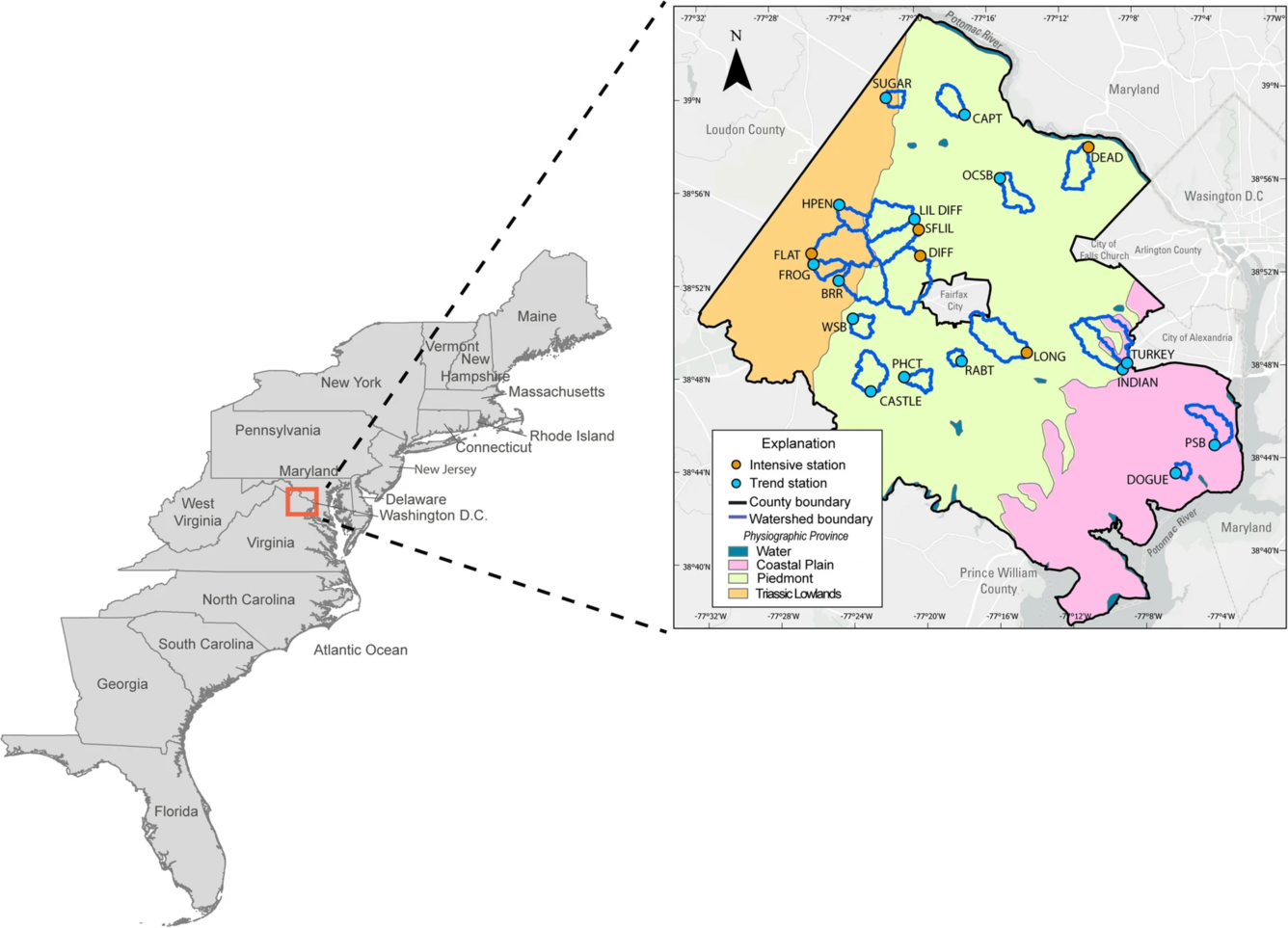
Location of study area along the east coast of the United States in Fairfax County, Virginia
Detailed Description
Location of study area along the east coast of the United States in Fairfax County, Virginia. Inset map shows locations of the 20 monitoring stations and watershed boundaries.
Physiographic provinces from Fenneman, 1938. Light Gray Canvas base map: Esri, TomTom, Garmin, FAO, NOAA, USGS, © OpenStreetMap contributors, and the GIS User Community
Sources/Usage
Figure 1 from Porter, A.J. Spatiotemporal patterns in urban nutrient and suspended sediment loads and stream response to watershed management implementation. Environ Monit Assess 197, 497 (2025). https://doi.org/10.1007/s10661-025-13917-7
This figure is licensed under CC BY 4.0