
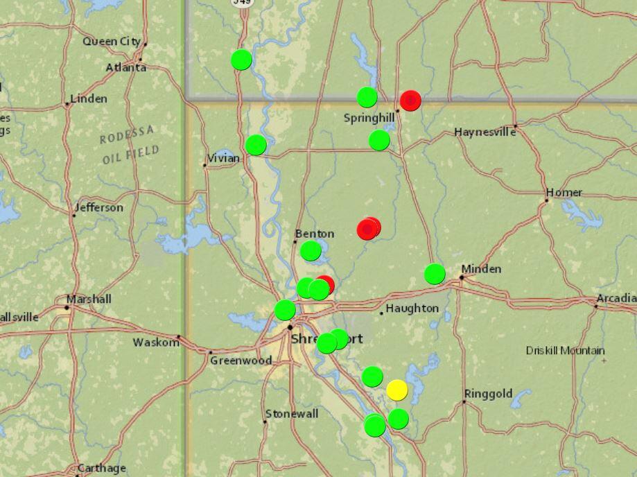
Louisiana Flood Alert Map
Detailed Description
These Louisiana Maps were developed to communicate Flood Warning notifications with citizens, Federal, State, and local partners. Here you will find maps created by Lower Mississippi-Gulf scientists that lend visual identity to our data. The maps you find in this section were devised by our scientists using Geographic Information Systems (GIS) that help us interpret the data through spatial and geographic imagery.
Sources/Usage
Limited Use by USGS only
These Louisiana Maps were developed to communicate Flood Warning notifications with citizens, Federal, State, and local partners. Here you will find maps created by Lower Mississippi-Gulf scientists that lend visual identity to our data. The maps you find in this section were devised by our scientists using Geographic Information Systems (GIS) that help us interpret the data through spatial and geographic imagery