
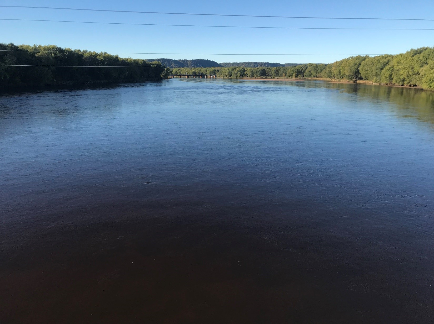
The lower Chippewa River at Highway 35, WI, looking downstream

Detailed Description
The lower Chippewa River at Highway 35, WI, looking downstream, with trees at the edge of the river.
Sources/Usage
Public Domain.
Related

Measuring Suspended-Sediment Concentrations, Grain Sizes, and Bedload using Multiple Single-Frequency Acoustic Doppler Profilers and Echologgers in the Lower Chippewa River, Wisconsin.
The Upper Mississippi River (UMR) provides critical habitat for hundreds of aquatic species and provides Minnesota with a transportation link to the rest of the world. Reliable measurements of sediment are important for making decisions as part of maintaining the channel. In 2014, sediment deposition in the navigation channel caused channel closures of the UMR delaying commercial navigation for 3...
Related
Measuring Suspended-Sediment Concentrations, Grain Sizes, and Bedload using Multiple Single-Frequency Acoustic Doppler Profilers and Echologgers in the Lower Chippewa River, Wisconsin.
The Upper Mississippi River (UMR) provides critical habitat for hundreds of aquatic species and provides Minnesota with a transportation link to the rest of the world. Reliable measurements of sediment are important for making decisions as part of maintaining the channel. In 2014, sediment deposition in the navigation channel caused channel closures of the UMR delaying commercial navigation for 3...