
LS Preliminary Puerto Rico
By Landslide Hazards Program
2017 (approx.)
Detailed Description
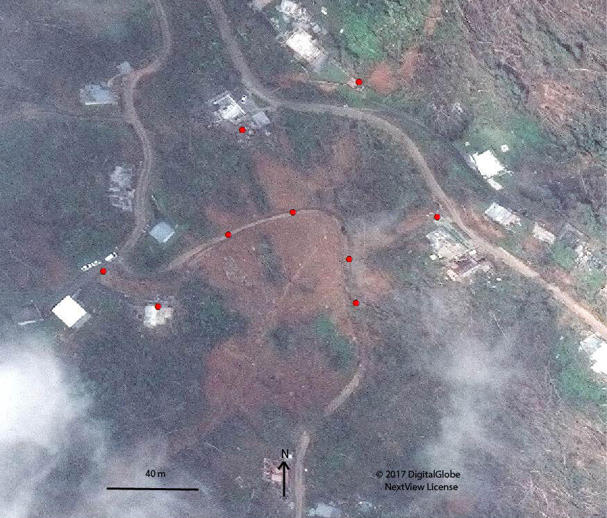
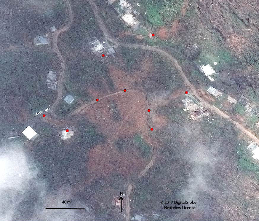
Excerpt of satellite image showing landslide impacts near Highway PR-406 and buildings in the Anasco Municipality. Points identify the approximate location of roads and buildings visibly impacted by landslides. Image filename contains approximate latitude and longitude of impact location.
Sources/Usage
Public Domain.