
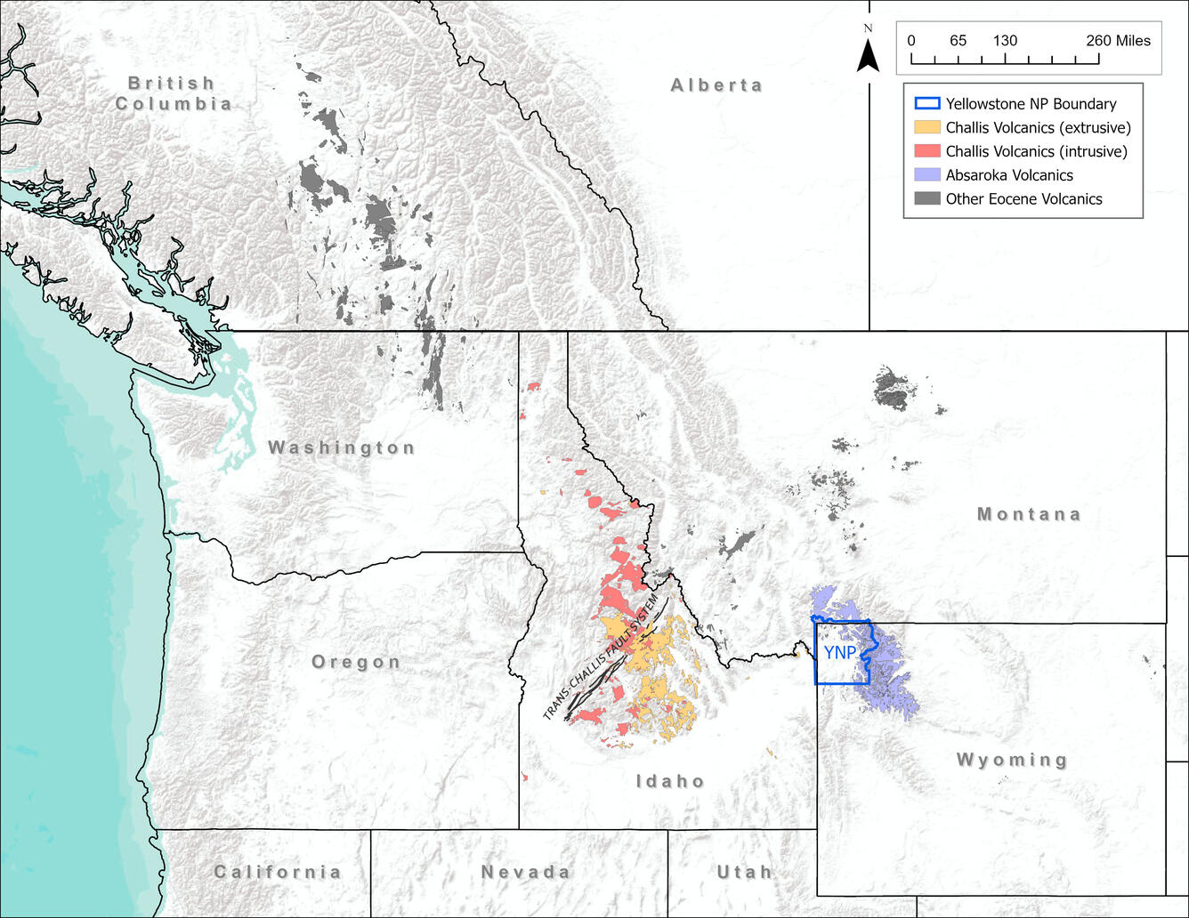
Map of Eocene igneous rocks associated with the Challis-Kamloops Belt
Detailed Description
Map of Eocene igneous rocks associated with the Challis-Kamloops Belt. The Challis volcanics are indicated by red (extrusive) and orange (intrusive) colors. The Absaroka volcanics are blue. Other Eocene rocks are shaded gray. Map by Zach Lifton, Idaho Geological Survey.
Sources/Usage
Public Domain.