
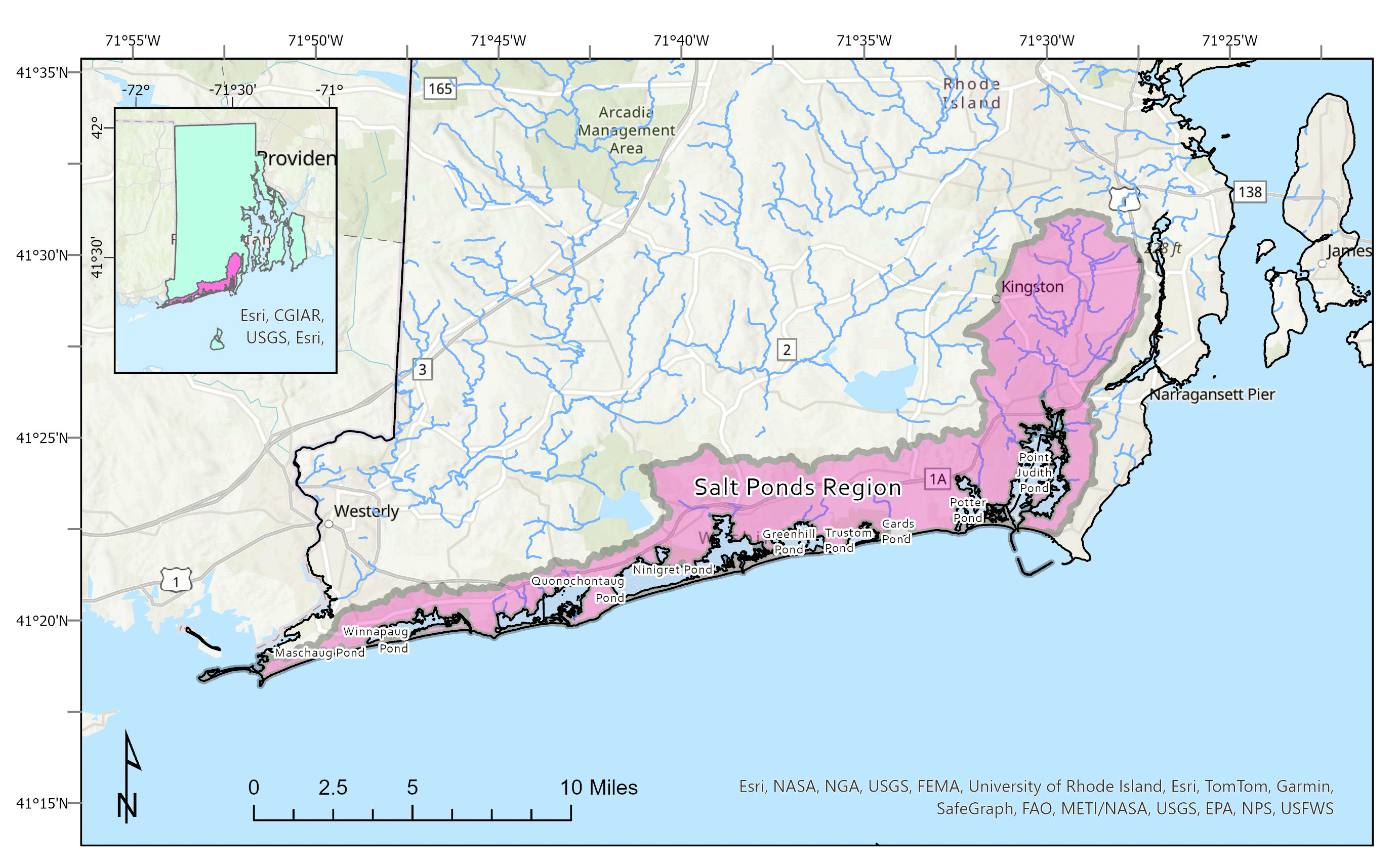
Map showing the Salt Ponds region in southern Rhode Island
By New England Water Science Center
March 2025 (approx.)

Detailed Description
Map showing the Salt Ponds region in southern Rhode Island.
Sources/Usage
Public Domain.
Related

Estimating Nitrogen Loading from Groundwater and Potential Effects of Sea-Level Rise in Rhode Island's Salt Ponds Region
The U.S. Geological Survey (USGS), in cooperation with the Southeast New England Program of the U.S. Environmental Protection Agency, is estimating the magnitude, spatial distribution, and travel times of nitrogen-loading to ponds and streams in the Salt Ponds region of southern Rhode Island. This information can be used to guide conservation-management efforts aimed at reducing nitrogen inputs to...
Related
Estimating Nitrogen Loading from Groundwater and Potential Effects of Sea-Level Rise in Rhode Island's Salt Ponds Region
The U.S. Geological Survey (USGS), in cooperation with the Southeast New England Program of the U.S. Environmental Protection Agency, is estimating the magnitude, spatial distribution, and travel times of nitrogen-loading to ponds and streams in the Salt Ponds region of southern Rhode Island. This information can be used to guide conservation-management efforts aimed at reducing nitrogen inputs to...