
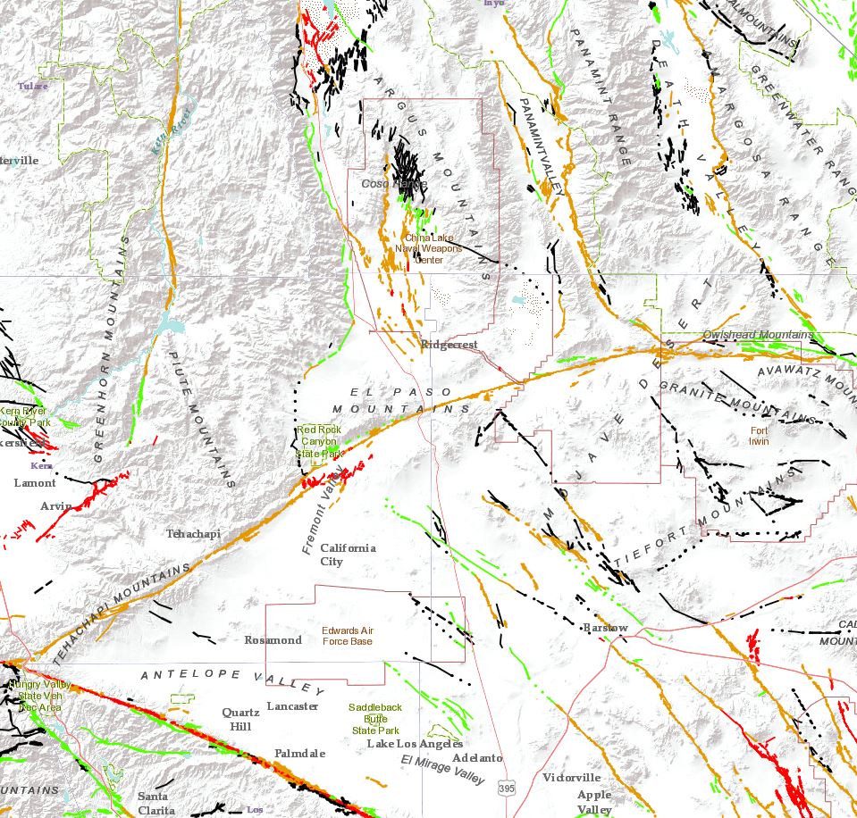
Map Shows Regional Faults and Coso Field near Ridgecrest

Detailed Description
Map showing the Coso Geothermal Field to the north. The northeast-striking Garlock fault (orange) runs south of Ridgecrest through the center of the map. The San Andreas fault (red) appears in the southwest corner of the map. Faults identified with green, brown or black lines are thought to be less active than those shown in orange and red. Fault mapping is from the USGS Quaternary Fault and Fold Database.
Sources/Usage
Public Domain.