
Measuring tidal inundation in a marsh shoreline

Detailed Description
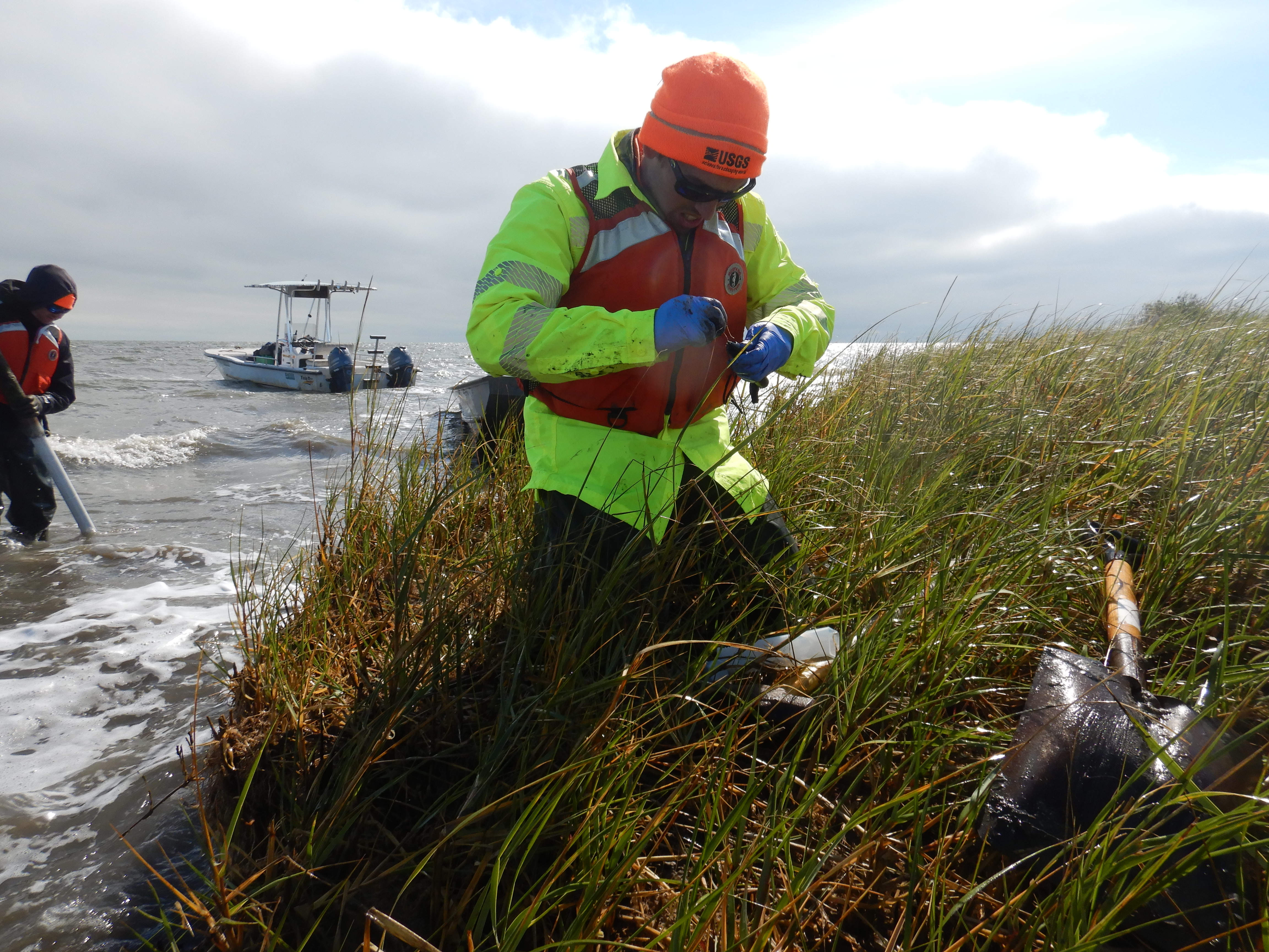
Joseph Terrano of the USGS St. Petersburg Coastal and Marine Science Center prepares water level loggers to install near the marsh shoreline in Grand Bay National Estuarine Research Reserve, Mississippi. Data collected by these water level loggers will be used to measure tidal inundation on the marsh surface for use in sediment transport studies.
Learn more about the Estuarine and MaRsh Geology (EMRG) Project.
Sources/Usage
Public Domain.