
Monitoring Wells at the Laurel Bay, South Carolina, Research Site

Detailed Description
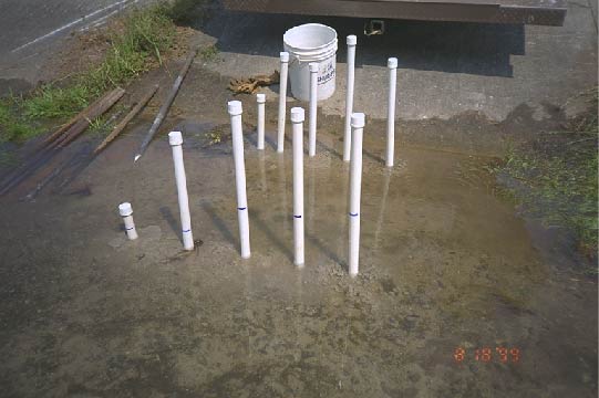
Monitoring wells at the Laurel Bay, South Carolina, Research Site. U.S. Geological Survey (USGS) scientists examined the natural attenuation and fate of methyl tert-butyl ether (MTBE). MTBE was a component of gasoline in a leaky underground storage tank that caused a plume of contaminated groundwater. This photo shows two rows of variably screened ("nested") monitoring points, screened from shallowest to deepest, left to right. Blue marks on well casing indicate level of groundwater in well, with higher water-levels in deeper wells, indicating a location of groundwater discharge.
Sources/Usage
Public Domain.