
msites_wv.png
By Virginia and West Virginia Water Science Center
November 2021 (approx.)
Detailed Description
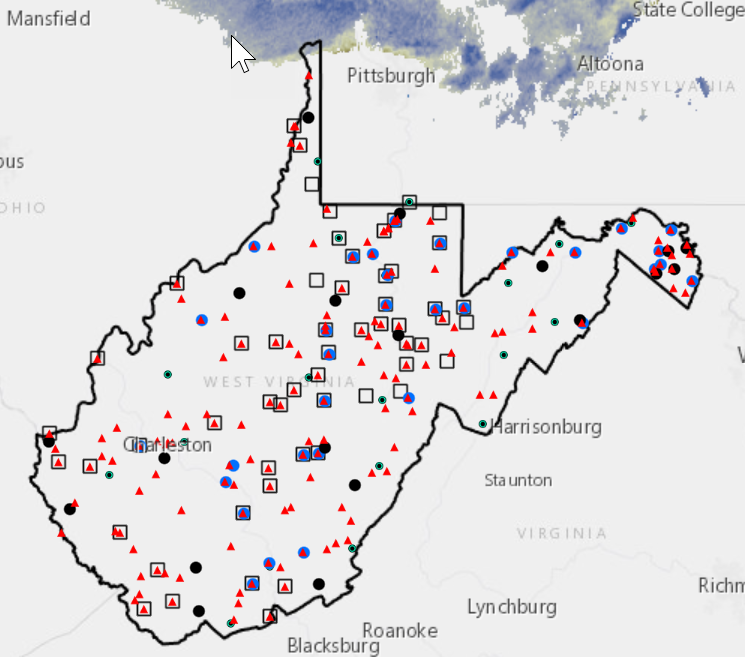
The Water-Monitoring-Site Mapper (Mapper) is an interactive map of West Virginia water monitoring-site locations from the USGS Water Data for the Nation (WDFN). It provides access to surface water, groundwater, and water-quality monitoring data for active sites. The functionality includes query, select, and tabular display by county and hydrologic unit code (HUC). The Mapper is flexible and allows addition and overlay of web maps or user-defined feature layers. Exporting spatial data layers, tables and maps is possible through the user interface.
Sources/Usage
Public Domain.