



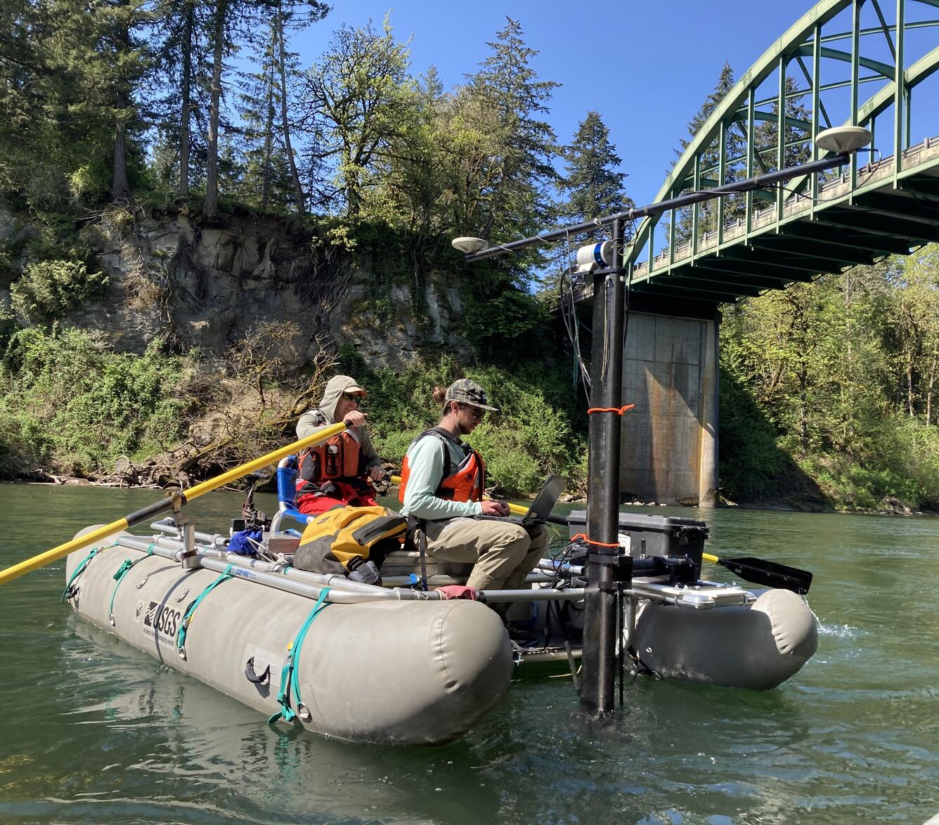
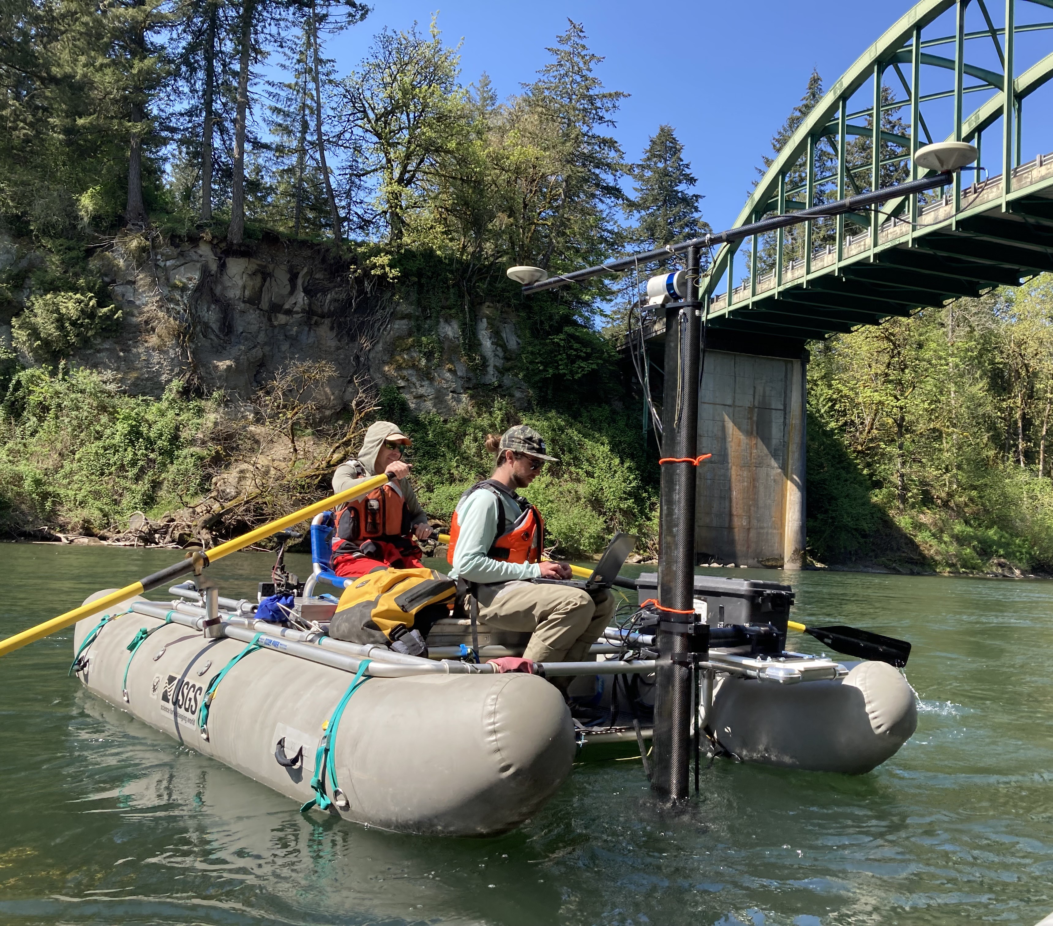
Multibeam sonar and lidar data collection on the Clackamas River


Detailed Description
Whitewater cataraft equipped with a multibeam sonar (underwater) and lidar scanner (above water) capture detailed bathymetry and surface topography on the Clackamas River.
Sources/Usage
Public Domain.