
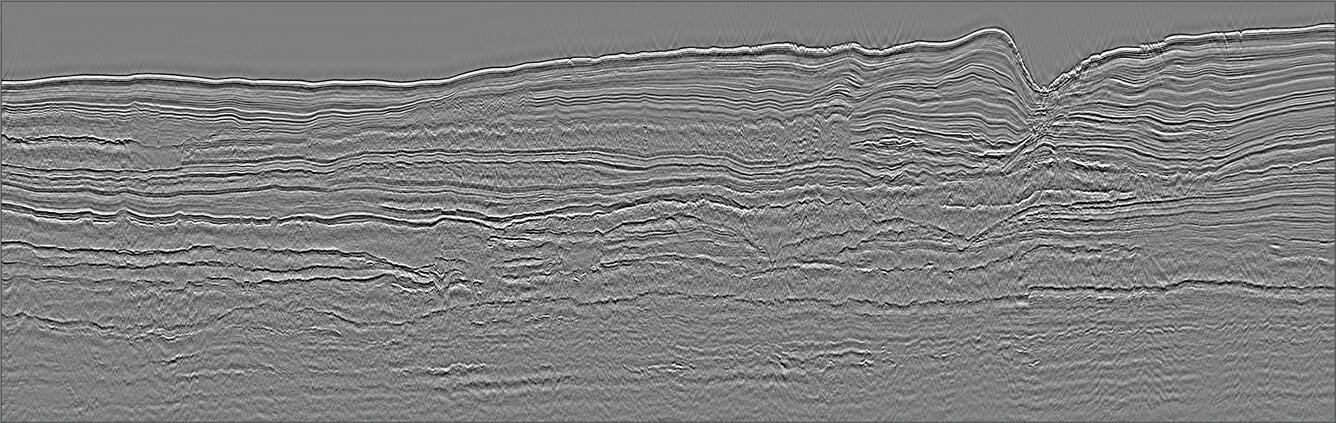
Multichannel seismic image
By Woods Hole Coastal and Marine Science Center
2018 (approx.)
Detailed Description
Multichannel seismic image collected by the USGS along 2018 MATRIX line 08, which is located ~280 km offshore of the Virginia-Maryland border at a water depth of ~3500 m.
Sources/Usage
Public Domain.