
NALCMS Map Square
By Earth Resources Observation and Science (EROS) Center
2015 (approx.)

Detailed Description
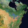
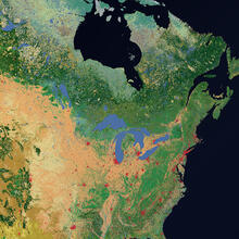
Land cover map showing portions of the U.S. and Canada, from the North American Land Change Monitoring System.
Sources/Usage
Public Domain.