
The National Land Cover Database (NCLD) - 8
By Earth Resources Observation and Science (EROS) Center
September 2019 (approx.)

Detailed Description
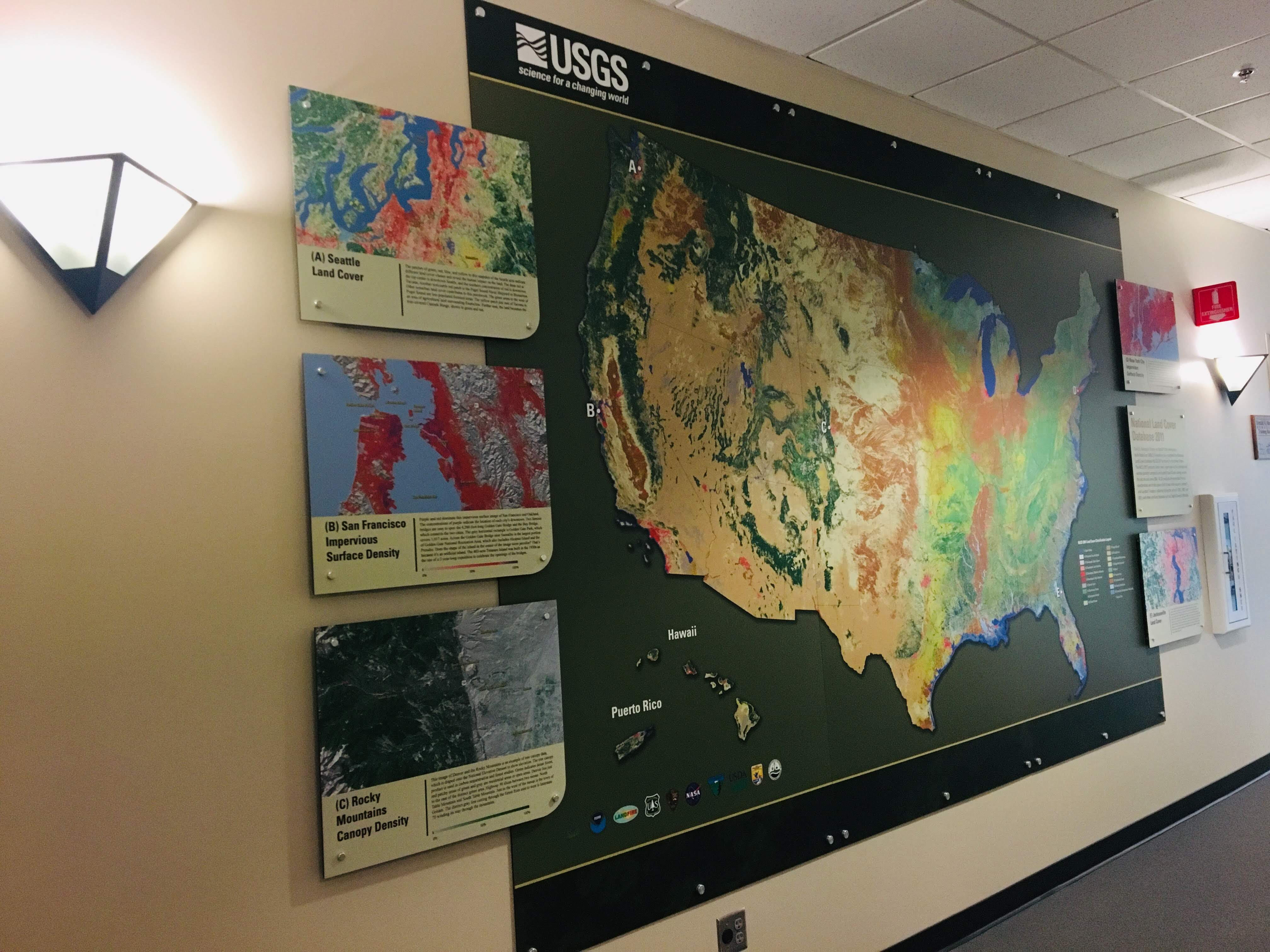
USGS EROS is central to the creation of the National Land Cover Database (NLCD), which is updated every 2-3years and stands as the definitive land cover database for the United States. NLCD is generated through the Multi-Resolution Land Characteristics Consortium (MRLC) a partnership of federal agencies working together to produce current, nationally-consistent land cover products for all 50 states and Puerto Rico. NLCD is used for thousands of applications that require information on land cover and change over time.
Sources/Usage
Credit: Dinesh Shrestha