



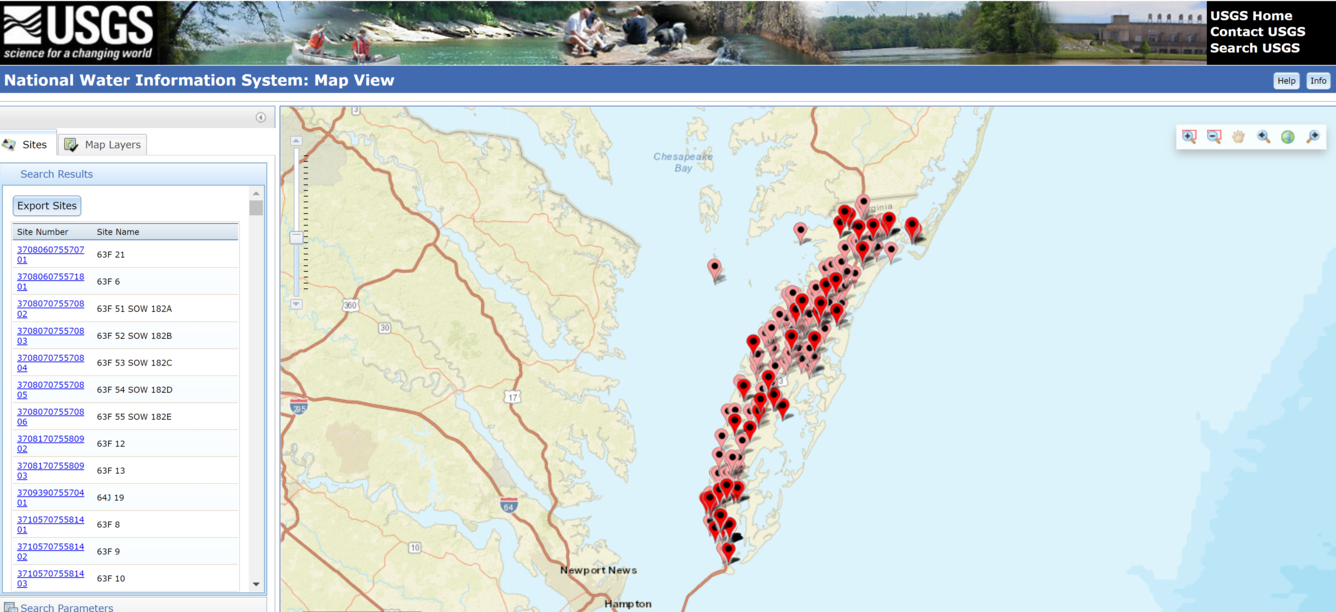
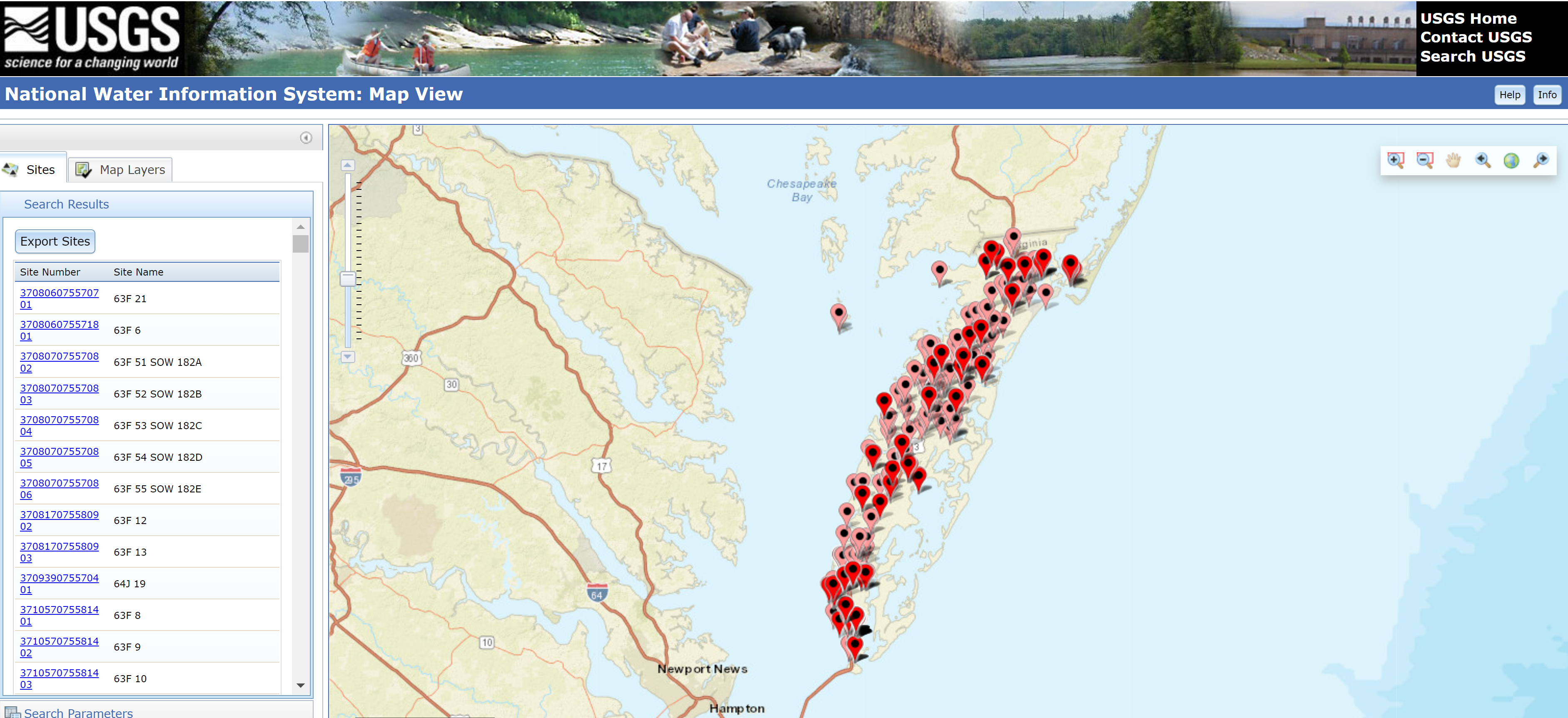
National Water Information System Mapper - Eastern Shore Groundwater Wells

Detailed Description
A screenshot of the National Water Information System interactive map showing the locations of active and inactive groundwater wells on the Eastern Shore of Virginia and Maryland.
Sources/Usage
Public Domain.