
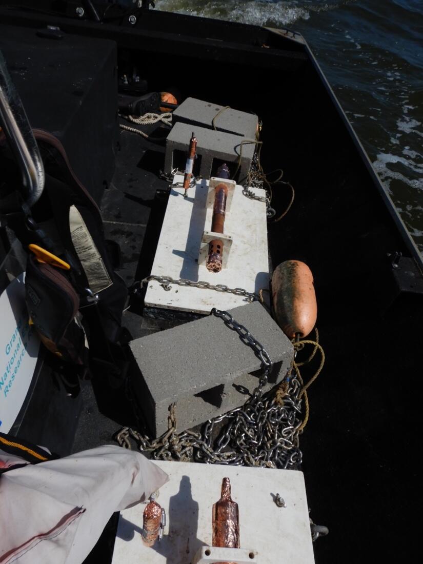
Oceanographic sensor deployed in Grand Bay estuary
Detailed Description
Oceanographic sensors ready to be deployed to the bottom of the estuary at Grand Bay National Estuarine Research Reserve (GBNERR) as part of the Estuarine and Marsh Geology (EMrG) project. The instruments will remain on the seafloor for six weeks to measure total suspended solids (sediment), water level, dissolved oxygen, and waves near a constructed subtidal reef. The sensor deployment is part of a study to examine the impacts of these reefs on nearby marsh shorelines, which have been eroding at approximately 2 meters per year and causing marsh loss. Natural and nature-based features, such as these subtidal reefs, are possible solutions to coastal erosion, but more research is necessary to understand their long-term impacts.
Sources/Usage
Public Domain.
Related

Estuarine and MaRsh Geology Research Project
The goal of the Estuarine and MaRsh Geology (EMRG) Research Project is to study how and where short- and long-term marsh and estuarine coastal processes interact, how they influence coastal accretion or erosion, and how they pre-condition a marsh’s resiliency to storms, sea-level change, and human alterations along the northern Gulf of America (Grand Bay and Point aux Chenes, Mississippi and St...
Related
Estuarine and MaRsh Geology Research Project
The goal of the Estuarine and MaRsh Geology (EMRG) Research Project is to study how and where short- and long-term marsh and estuarine coastal processes interact, how they influence coastal accretion or erosion, and how they pre-condition a marsh’s resiliency to storms, sea-level change, and human alterations along the northern Gulf of America (Grand Bay and Point aux Chenes, Mississippi and St...