



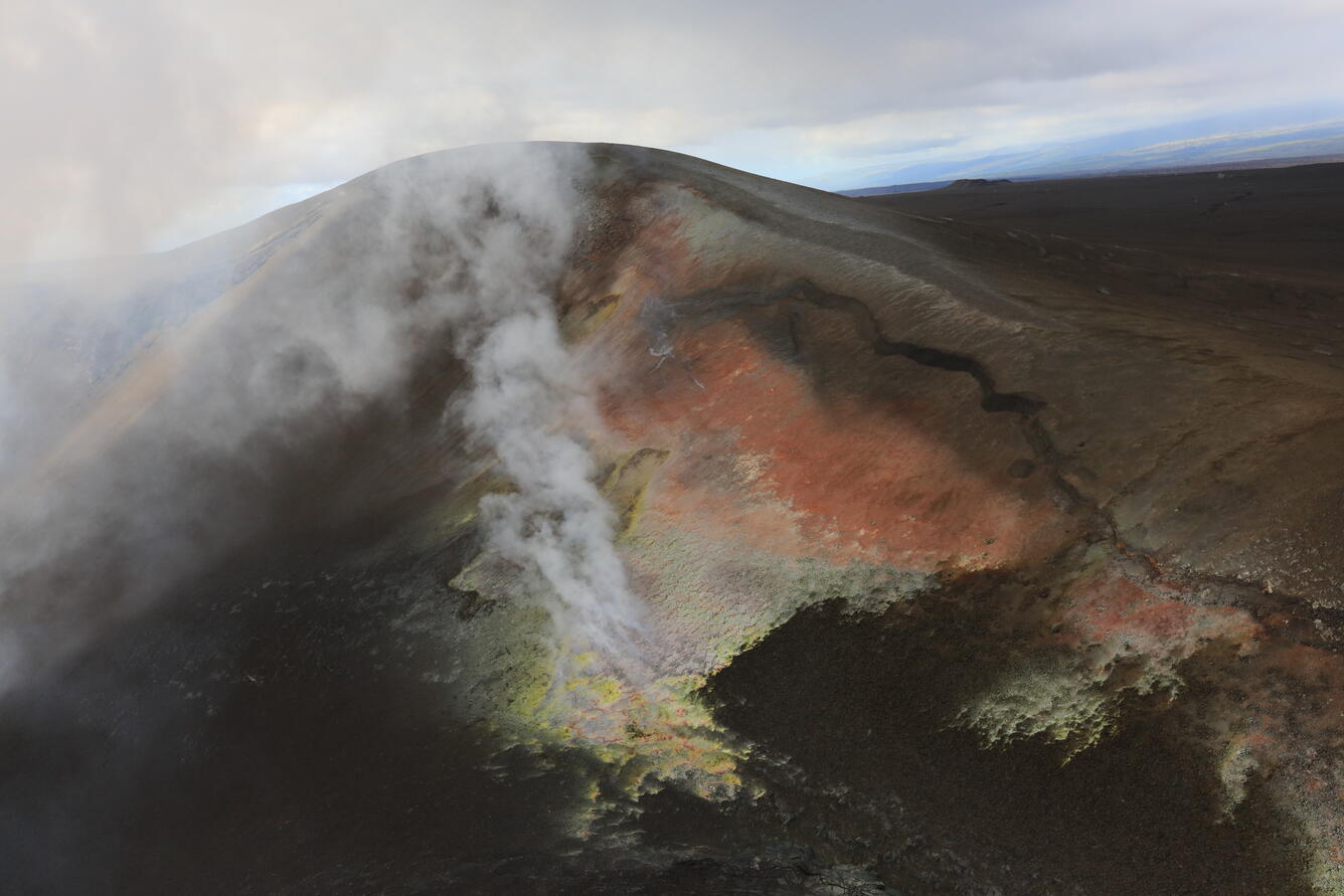
October 22, 2026—Tephra hill during helicopter overflight of Halema‘uma‘u
By Kīlauea


Detailed Description
During a USGS Hawaiian Volcano Observatory helicopter overflight of Halema‘uma‘u crater, this close-up image was taken of the tephra hill on the southwest rim of Kaluapele (the Kīlauea summit caldera). This hill of tephra formed during the ongoing episodic summit eruption as tephra fallout from many high fountaining episodes accumulated here. A large crack is visible on the right side of the image where the material has slowly been slumping, along with areas of alteration that are yellow and orange in color. USGS photo taken by L. DeSmither on October 22, 2026.
Sources/Usage
Public Domain.