



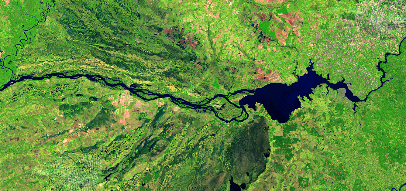
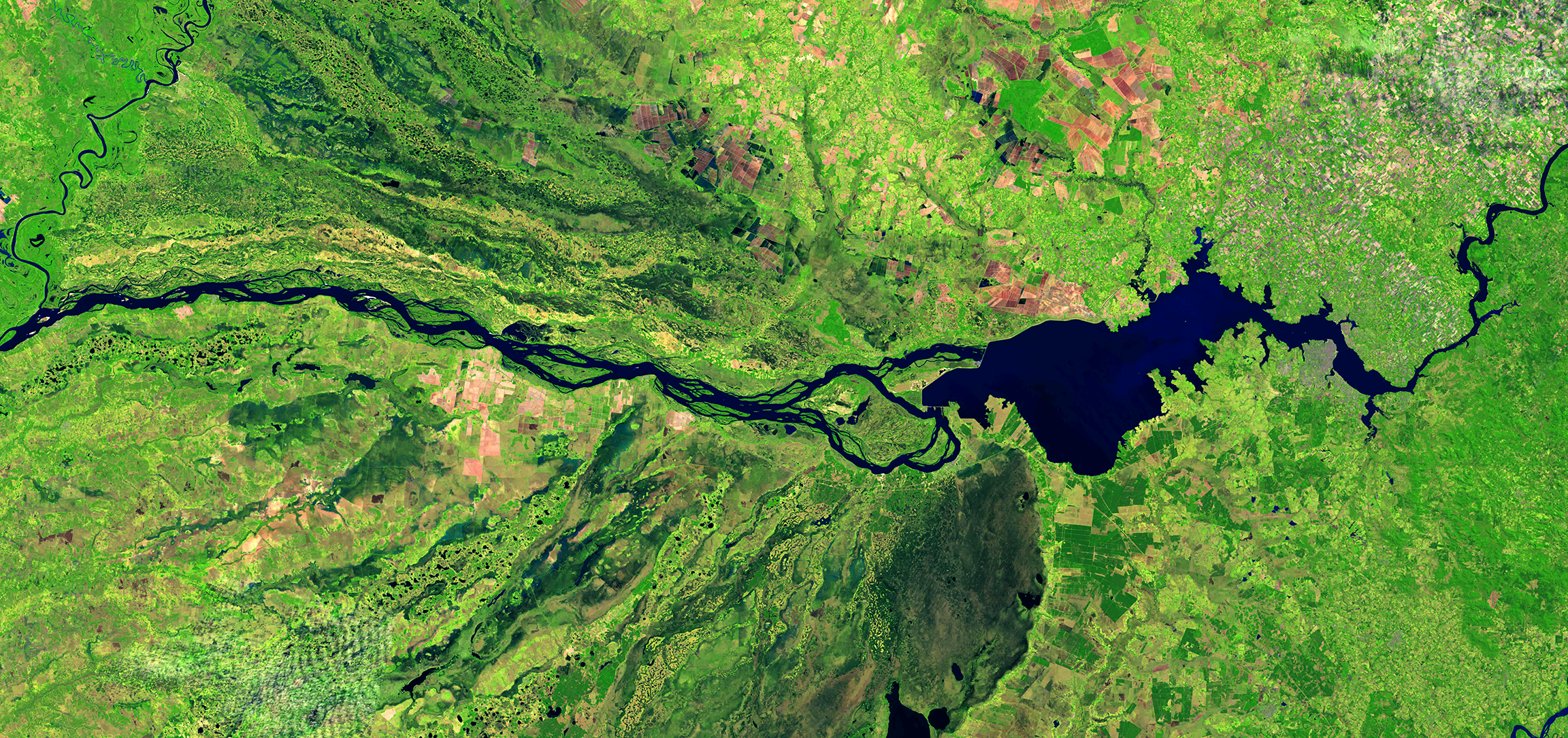
Parana River along the Paraguay & Argentina Border
By Landsat Missions
September 2026 (approx.)


Detailed Description
The middle Parana River forms the country boundaries of Paraguay and Argentina in South America.
This September 2026 Landsat image shows a portion of the river that was changed by the construction of the Yacyretá Dam in the mid 1980's. Visit this USGS EROS Media Gallery webpage to see what the area looked like before the dam was completed.
The images listed below were used in the creation of this image:
- Landsat 8, Path 224 Row 79, acquired September 8, 2026
- Landsat 8, Path 225 Row 79, acquired September 15, 2026
- Landsat 9, Path 226 Row 79, acquired September 14, 2026
Sources/Usage
Public Domain.