
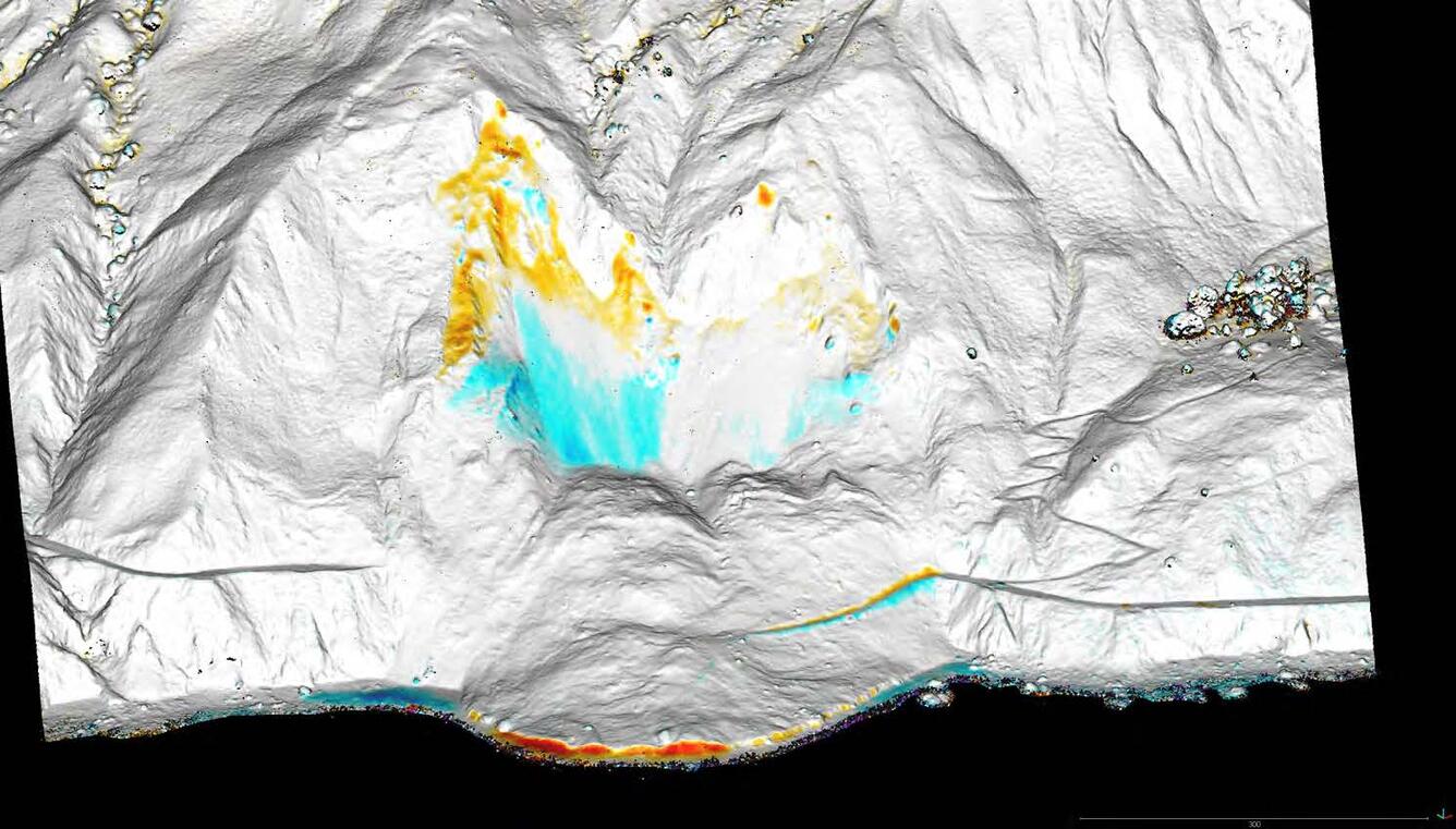
Preliminary Mapping of the Mud Creek Landslide with 4D Photogrammetry
By Pacific Coastal and Marine Science Center
June 2017 (approx.)
Detailed Description
Remote Sensing Coastal Change Project. Mud Creek – Change in Topography – Oblique Perspective. Topographic Change: May 27 to June 13, 2017. PROVISIONAL DATA SUBJECT TO REVISION
Sources/Usage
Public Domain.